Transport Functions
Rail
Road
Hub Profile
Place type
District seat
Region
Lower Saxony
Population
71,010
Time zone
Europe/Berlin
Elevation
45 m
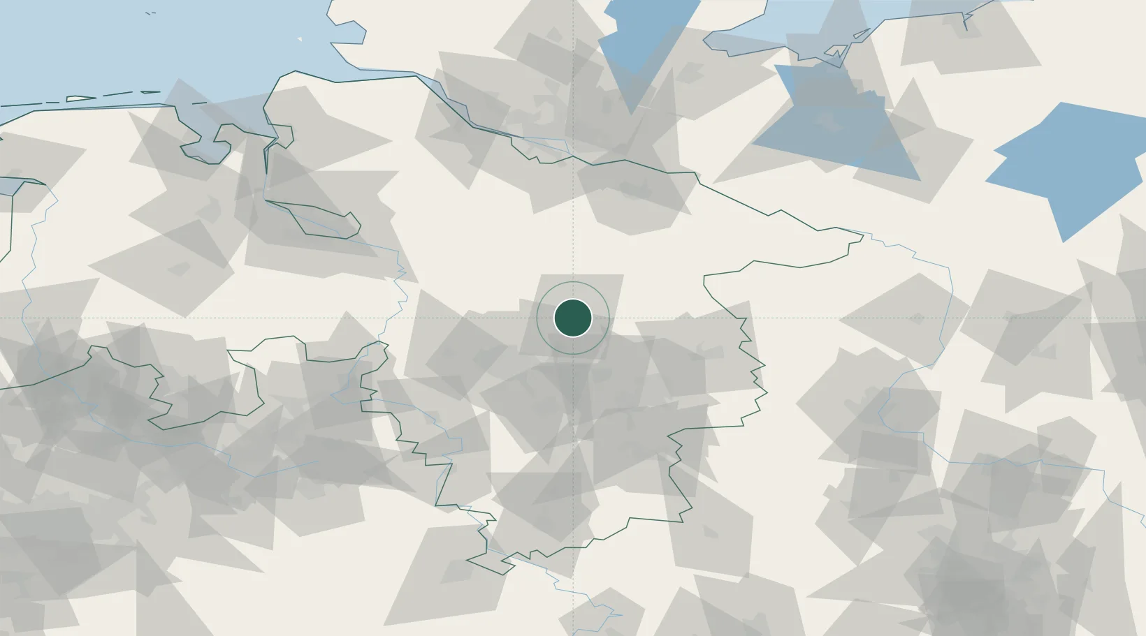
Location
Nearby Logistics Neighbours
Cities
- 1Wietze17 km
- 2Uetze20 km
- 3Bergen22 km
- 4Steinhorst23 km
- 5Meinersen24 km
Airports
- 1Celle Army Airfield5 km
- 2Hannover Airport32 km
- 3Faßberg Air Base34 km
- 4Braunschweig-Wolfsburg Airport46 km
- 5Wunstorf Air Base48 km
Trade Zones
DatabookThe Record of Consolidated Knowledge
Germany beyond logistics?