UN/LOCODE hub · Germany
DEFAL
Bad Fallingbostel
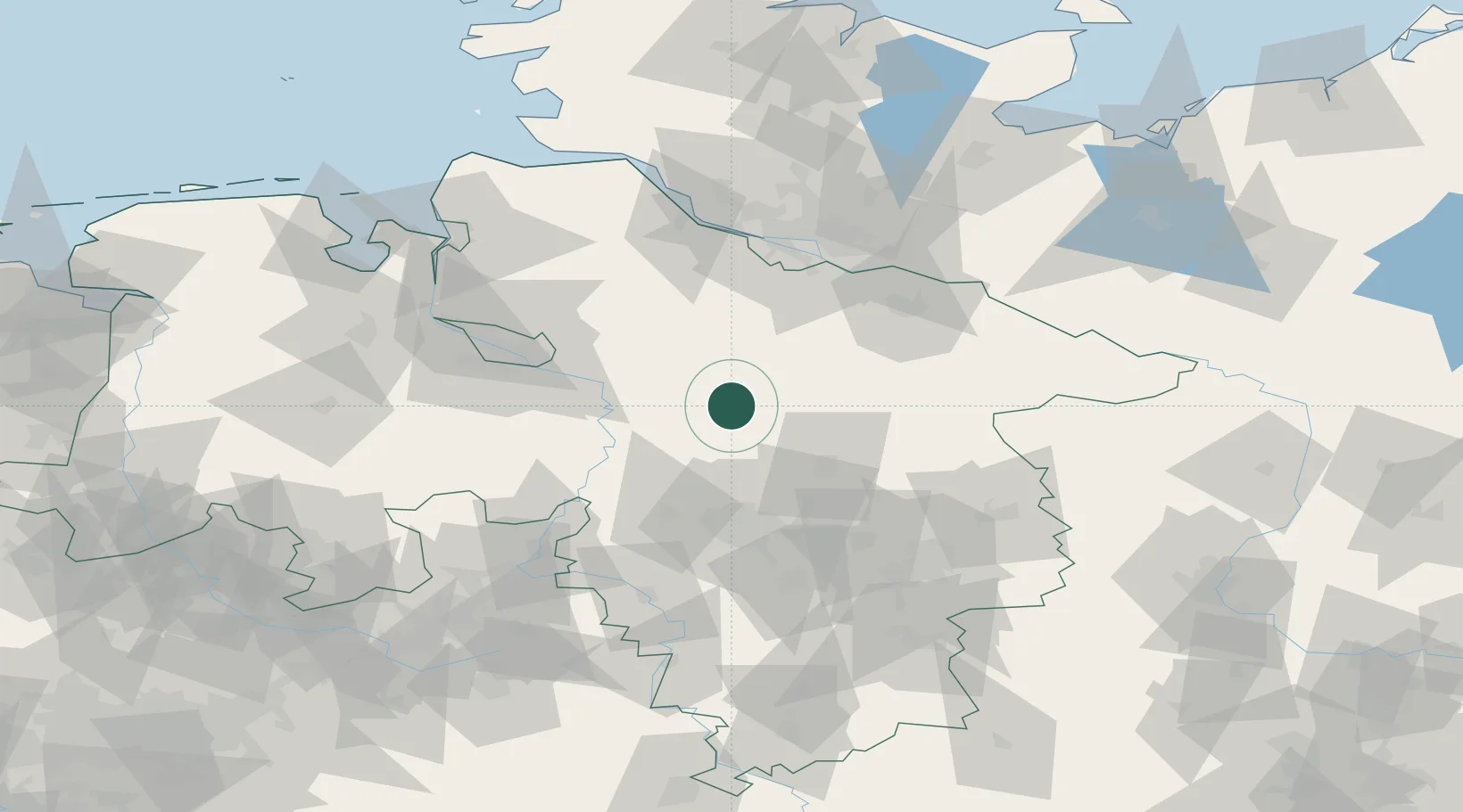
52.8667°, 9.7000°
13,473
Population
2
Transport functions
Transport Functions
Rail
Road
Hub Profile
Place type
District seat
Region
Lower Saxony
Population
13,473
Time zone
Europe/Berlin
Elevation
39 m
Location
Nearby Logistics Neighbours
Cities
- 1Walsrode7 km
- 2Visselhövede15 km
- 3Ahlden15 km
- 4Soltau16 km
- 5Neuenkirchen/Lüneburg19 km
Airports
- 1Faßberg Air Base33 km
- 2Celle Army Airfield38 km
- 3Hannover Airport45 km
- 4Wunstorf Air Base49 km
- 5Bremen Airport64 km
Trade Zones
DatabookThe Record of Consolidated Knowledge
Germany beyond logistics?