Transport Functions
Multimodal
Hub Profile
Region
BY
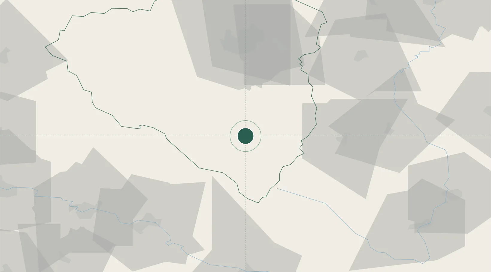
Location
Nearby Logistics Neighbours
Cities
- 1Klatovy16 km
- 2Nyrsko19 km
- 3Horazdovice21 km
- 4Nepomuk26 km
- 5Vacov28 km
Ports
- 1Monfalcone389 km
- 2Nogaro392 km
- 3Grado399 km
- 4Trieste405 km
- 5Muggia410 km
Airports
- 1Plzeň-Líně Airport45 km
- 2České Budějovice South Bohemian Airport83 km
- 3Karlovy Vary Airport108 km
- 4Václav Havel Airport Prague109 km
- 5Hohenfels Army Airfield115 km
Trade Zones
DatabookThe Record of Consolidated Knowledge
Germany beyond logistics?