Transport Functions
Multimodal
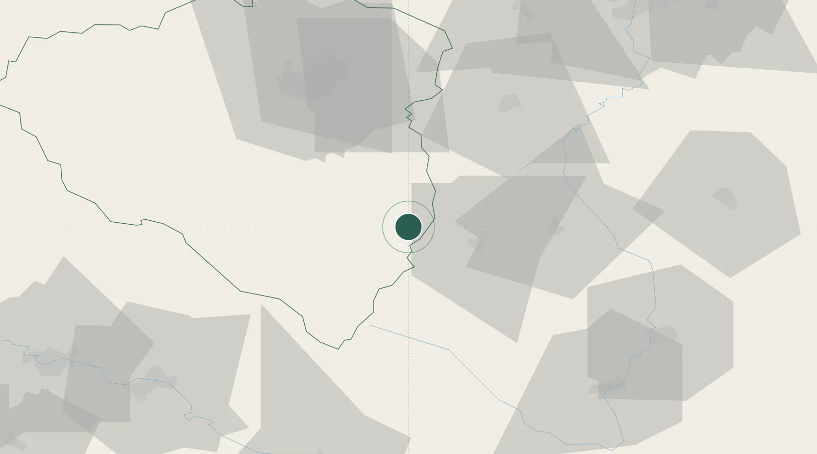
Hub Profile
Region
PL
Location
Nearby Logistics Neighbours
Cities
- 1Kasejovice17 km
- 2Sedlice u Blatne18 km
- 3Blatná19 km
- 4Nepomuk20 km
- 5Vacov21 km
Ports
- 1Monfalcone393 km
- 2Nogaro398 km
- 3Grado404 km
- 4Trieste408 km
- 5Muggia413 km
Airports
- 1Plzeň-Líně Airport50 km
- 2České Budějovice South Bohemian Airport67 km
- 3Václav Havel Airport Prague96 km
- 4Prague–Kbely Air Base108 km
- 5Vodochody Airport112 km
Trade Zones
DatabookThe Record of Consolidated Knowledge
Czechia beyond logistics?