Transport Functions
Rail
Road
Airport
Hub Profile
Place type
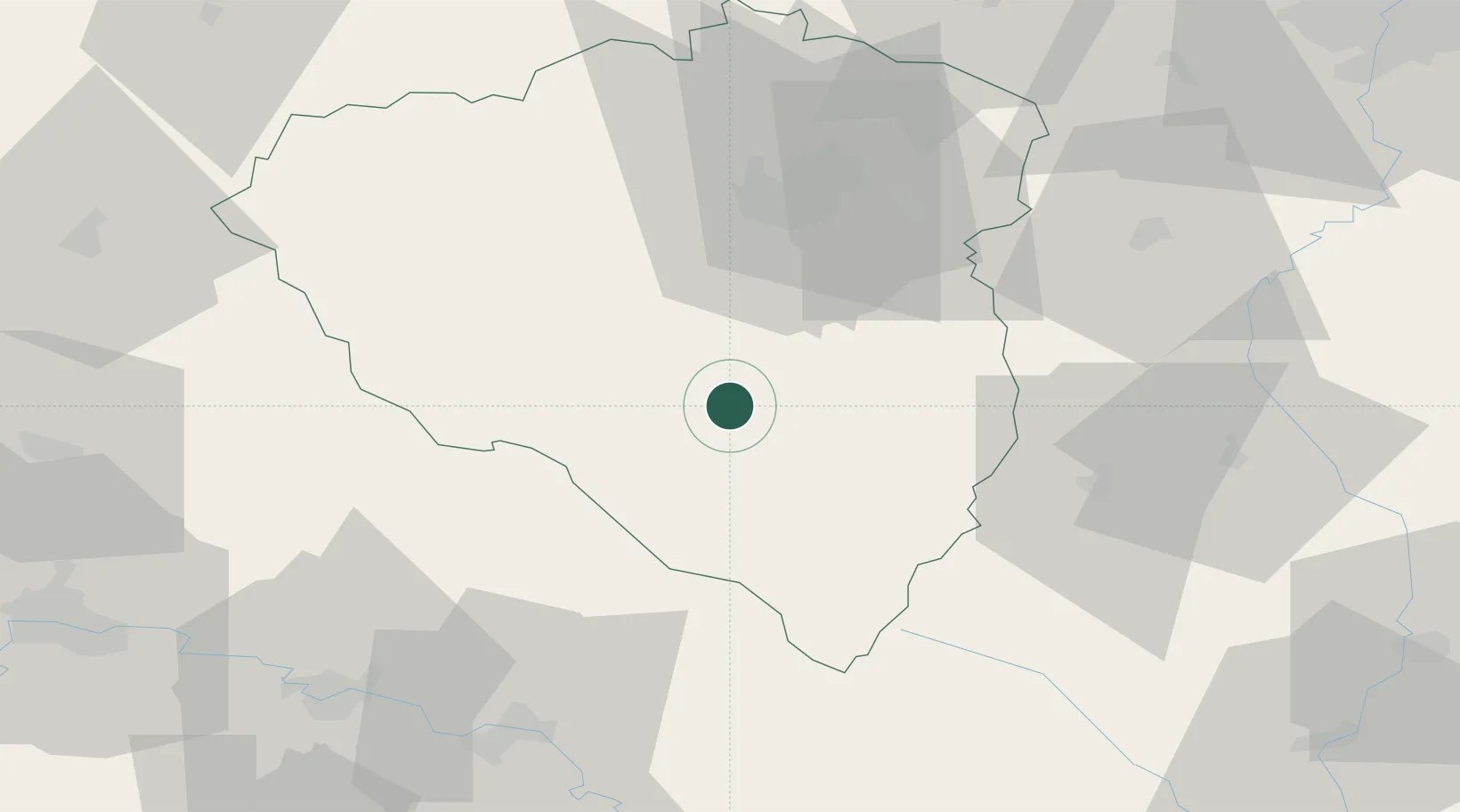
Populated place
Region
Plzeň Region
Population
22,763
Time zone
Europe/Prague
Elevation
405 m
Location
Nearby Logistics Neighbours
Cities
- 1Birkov14 km
- 2Nyrsko15 km
- 3Bad Kotzting16 km
- 4Kdyne18 km
- 5Prestice19 km
Ports
- 1Monfalcone403 km
- 2Nogaro405 km
- 3Grado412 km
- 4Trieste418 km
- 5Muggia424 km
Airports
Trade Zones
DatabookThe Record of Consolidated Knowledge
Czechia beyond logistics?