Transport Functions
Multimodal
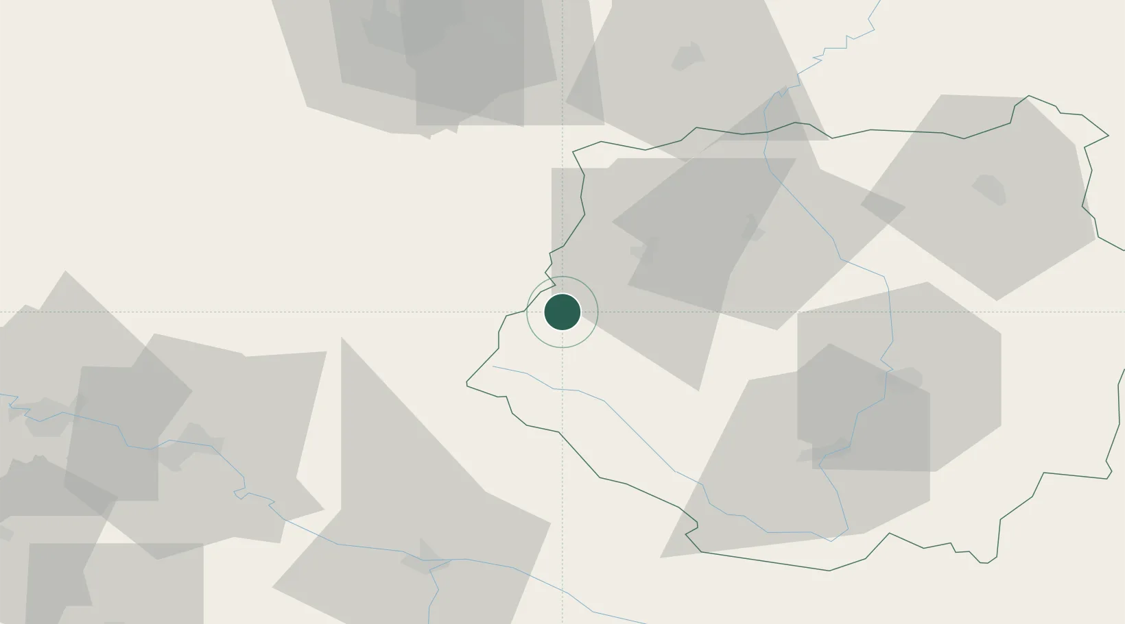
Hub Profile
Place type
Populated place
Region
Jihočeský kraj
Population
1,372
Time zone
Europe/Prague
Elevation
731 m
Location
Nearby Logistics Neighbours
Cities
- 1Nisovice12 km
- 2Horazdovice21 km
- 3Strunkovice nad Blanicí24 km
- 4Bad Kotzting28 km
- 5Sedlice u Blatne30 km
Ports
- 1Monfalcone373 km
- 2Nogaro378 km
- 3Grado384 km
- 4Trieste387 km
- 5Muggia393 km
Airports
- 1České Budějovice South Bohemian Airport55 km
- 2Plzeň-Líně Airport69 km
- 3Linz-Hörsching Airport105 km
- 4Václav Havel Airport Prague114 km
- 5Prague–Kbely Air Base124 km
Trade Zones
DatabookThe Record of Consolidated Knowledge
Czechia beyond logistics?