Transport Functions
Multimodal
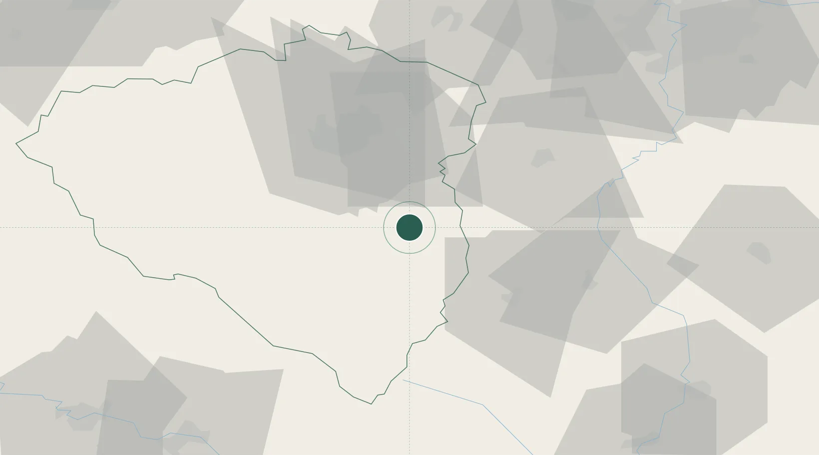
Hub Profile
Place type
Populated place
Region
Plzeň Region
Population
3,670
Time zone
Europe/Prague
Elevation
451 m
Location
Nearby Logistics Neighbours
Cities
- 1Kasejovice10 km
- 2Horazdovice20 km
- 3Blatná21 km
- 4Prestice21 km
- 5Klatovy25 km
Ports
- 1Monfalcone411 km
- 2Nogaro415 km
- 3Grado422 km
- 4Trieste426 km
- 5Muggia432 km
Airports
Trade Zones
DatabookThe Record of Consolidated Knowledge
Czechia beyond logistics?