Transport Functions
Multimodal
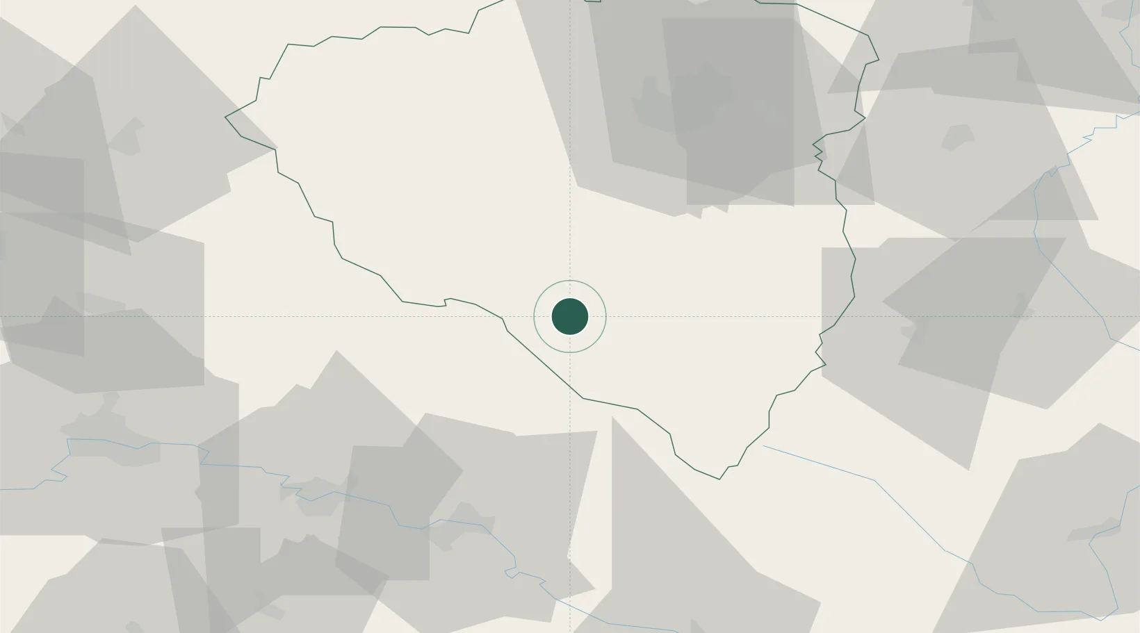
Hub Profile
Place type
Populated place
Region
Plzeň Region
Population
5,070
Time zone
Europe/Prague
Elevation
455 m
Location
Nearby Logistics Neighbours
Cities
- 1Kdyne14 km
- 2Klatovy15 km
- 3Lam16 km
- 4Kout na Sumave16 km
- 5Bad Kotzting19 km
Ports
- 1Monfalcone392 km
- 2Nogaro394 km
- 3Grado401 km
- 4Trieste408 km
- 5Muggia414 km
Airports
- 1Plzeň-Líně Airport43 km
- 2Hohenfels Army Airfield96 km
- 3Grafenwöhr Army Air Field98 km
- 4České Budějovice South Bohemian Airport101 km
- 5Karlovy Vary Airport102 km
Trade Zones
DatabookThe Record of Consolidated Knowledge
Czechia beyond logistics?