Transport Functions
Multimodal
Hub Profile
Place type
Local administrative seat
Region
Lower Saxony
Population
4,803
Time zone
Europe/Berlin
Elevation
20 m
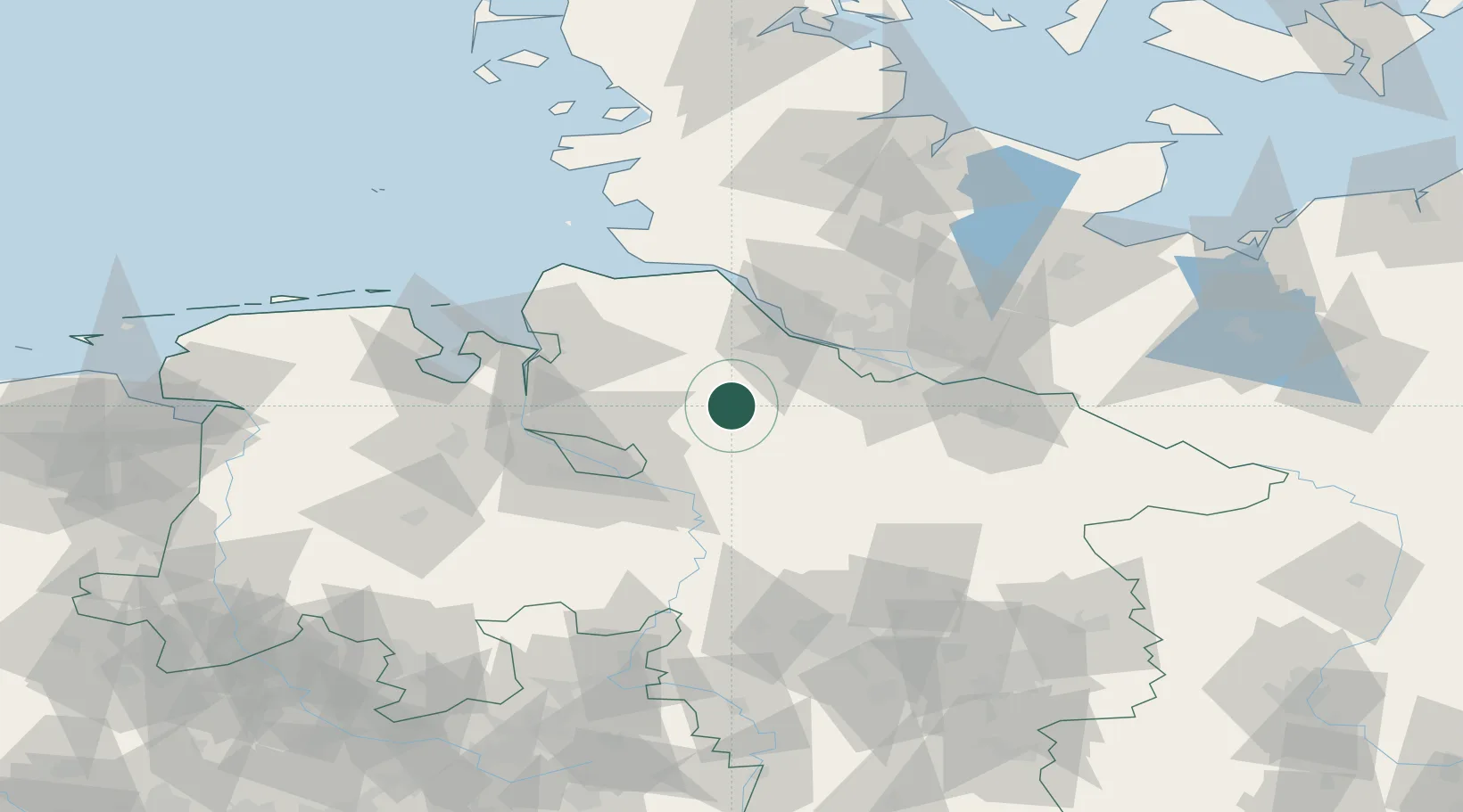
Location
Nearby Logistics Neighbours
Cities
- 1Zeven4 km
- 2Wohnste14 km
- 3Brest15 km
- 4Kutenholz17 km
- 5Westerholz18 km
Ports
- 1Butzfleth39 km
- 2Bremen43 km
- 3Hamburg48 km
- 4Gluckstadt52 km
- 5Bremerhaven55 km
Airports
Trade Zones
DatabookThe Record of Consolidated Knowledge
Germany beyond logistics?