Transport Functions
Multimodal
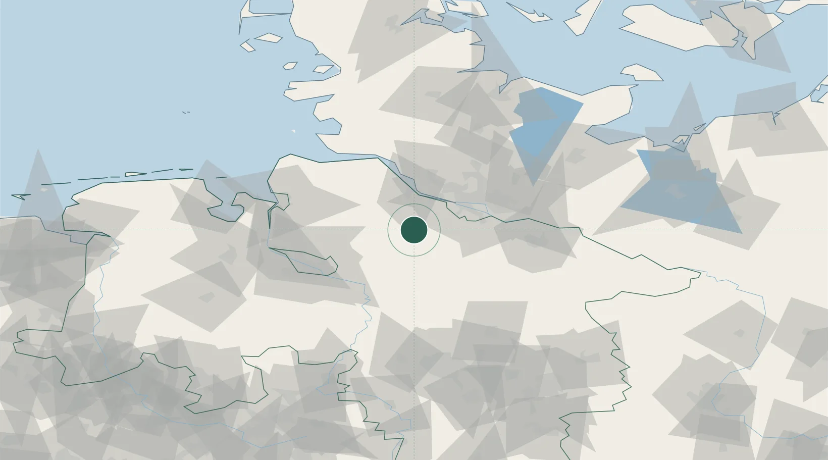
Hub Profile
Place type
Local administrative seat
Region
Lower Saxony
Population
819
Time zone
Europe/Berlin
Elevation
35 m
Location
Nearby Logistics Neighbours
Cities
- 1Wistedt14 km
- 2Heeslingen14 km
- 3Brest15 km
- 4Drestedt16 km
- 5Buxtehude16 km
Ports
- 1Butzfleth33 km
- 2Hamburg35 km
- 3Gluckstadt49 km
- 4Bremen56 km
- 5Neuhaus60 km
Airports
- 1Hamburg-Finkenwerder Airport29 km
- 2Uetersen-Heist Airfield35 km
- 3Hamburg Helmut Schmidt Airport43 km
- 4Bremen Airport60 km
- 5Faßberg Air Base65 km
Trade Zones
DatabookThe Record of Consolidated Knowledge
Germany beyond logistics?