Transport Functions
Road
Multimodal
Hub Profile
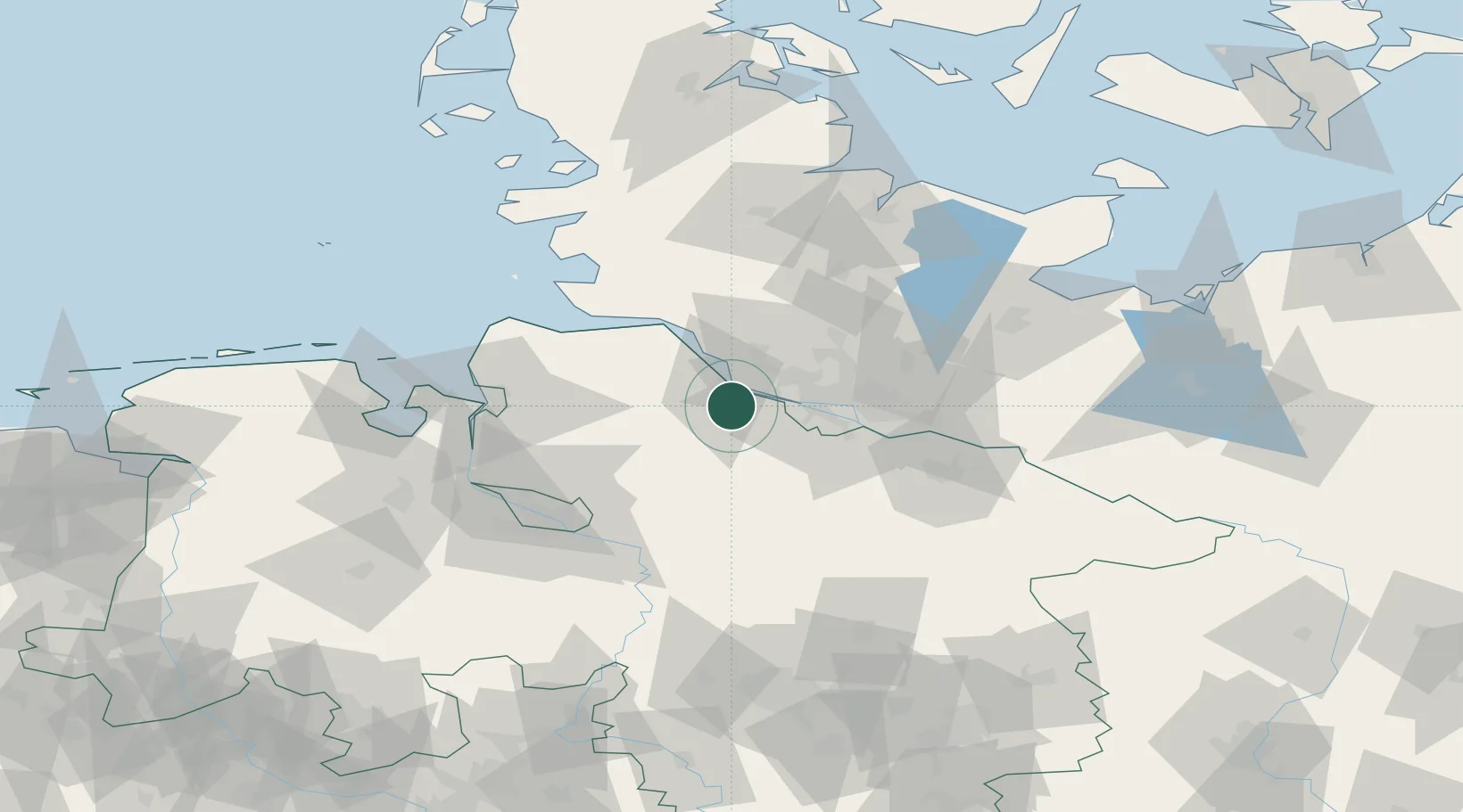
Place type
Local administrative seat
Region
Lower Saxony
Population
1,728
Time zone
Europe/Berlin
Elevation
25 m
Location
Nearby Logistics Neighbours
Cities
- 1Steinkirchen (Altes Land)6 km
- 2Stade9 km
- 3Hetlingen11 km
- 4Stader Sand11 km
- 5Schulau11 km
Ports
- 1Butzfleth13 km
- 2Hamburg25 km
- 3Gluckstadt29 km
- 4Itzehoe43 km
- 5Neuhaus45 km
Airports
Trade Zones
DatabookThe Record of Consolidated Knowledge
Germany beyond logistics?