Transport Functions
Port
Road
Hub Profile
Place type
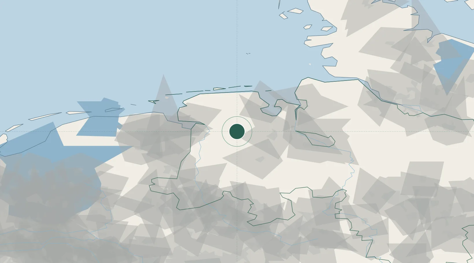
Populated place
Region
Lower Saxony
Time zone
Europe/Berlin
Elevation
2 m
Location
Nearby Logistics Neighbours
Cities
- 1Apen2 km
- 2Lindern8 km
- 3Brinkum14 km
- 4Landkreis Ammerland17 km
- 5Edewechterdamm19 km
Ports
- 1Leer21 km
- 2Papenburg29 km
- 3Oldenburg32 km
- 4Emden41 km
- 5Wilhelmshaven44 km
Airports
- 1Wittmundhafen Air Base37 km
- 2Emden Airport41 km
- 3Harlesiel Airfield55 km
- 4Norden-Norddeich Airport60 km
- 5Baltrum Airport62 km
Trade Zones
DatabookThe Record of Consolidated Knowledge
Germany beyond logistics?