Transport Functions
Port
Rail
Road
Hub Profile
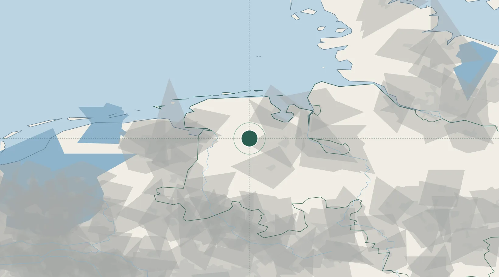
Place type
Local administrative seat
Region
Lower Saxony
Population
10,992
Time zone
Europe/Berlin
Elevation
2 m
Location
Nearby Logistics Neighbours
Cities
- 1Augustfehn2 km
- 2Lindern6 km
- 3Landkreis Ammerland14 km
- 4Brinkum17 km
- 5Edewechterdamm17 km
Ports
- 1Leer23 km
- 2Oldenburg30 km
- 3Papenburg31 km
- 4Wilhelmshaven43 km
- 5Emden43 km
Airports
- 1Wittmundhafen Air Base38 km
- 2Emden Airport43 km
- 3Harlesiel Airfield55 km
- 4Norden-Norddeich Airport61 km
- 5Baltrum Airport63 km
Trade Zones
DatabookThe Record of Consolidated Knowledge
Germany beyond logistics?