Transport Functions
Rail
Road
Hub Profile
Place type
Local administrative seat
Region
Lower Saxony
Population
19,199
Time zone
Europe/Berlin
Elevation
103 m
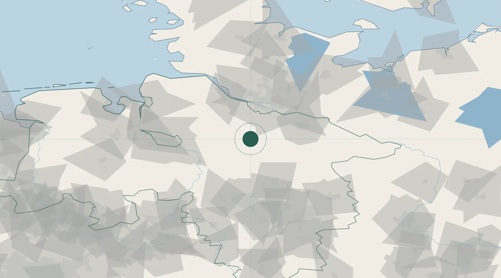
Location
Nearby Logistics Neighbours
Cities
- 1Neuenkirchen/Lüneburg11 km
- 2Bispingen14 km
- 3Handeloh15 km
- 4Soltau15 km
- 5Wistedt18 km
Ports
- 1Hamburg49 km
- 2Butzfleth62 km
- 3Bremen69 km
- 4Gluckstadt78 km
- 5Elsfleth90 km
Airports
- 1Faßberg Air Base34 km
- 2Hamburg-Finkenwerder Airport47 km
- 3Hamburg Helmut Schmidt Airport59 km
- 4Uetersen-Heist Airfield59 km
- 5Celle Army Airfield60 km
Trade Zones
DatabookThe Record of Consolidated Knowledge
Germany beyond logistics?