Transport Functions
Multimodal
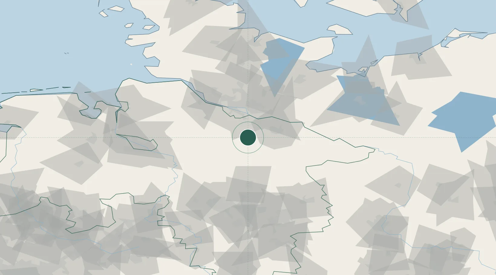
Hub Profile
Place type
Local administrative seat
Region
Lower Saxony
Population
2,451
Time zone
Europe/Berlin
Elevation
102 m
Location
Nearby Logistics Neighbours
Cities
- 1Soderstorf7 km
- 2Salzhausen8 km
- 3Bispingen12 km
- 4Brackel13 km
- 5Ramelsloh17 km
Ports
- 1Hamburg42 km
- 2Butzfleth63 km
- 3Gluckstadt79 km
- 4Bremen87 km
- 5Lubeck88 km
Airports
- 1Faßberg Air Base30 km
- 2Hamburg-Finkenwerder Airport42 km
- 3Hamburg Helmut Schmidt Airport50 km
- 4Uetersen-Heist Airfield57 km
- 5Celle Army Airfield66 km
Trade Zones
DatabookThe Record of Consolidated Knowledge
Germany beyond logistics?