Transport Functions
Port
Road
Hub Profile
Place type
Populated place
Region
Lower Saxony
Time zone
Europe/Berlin
Elevation
12 m
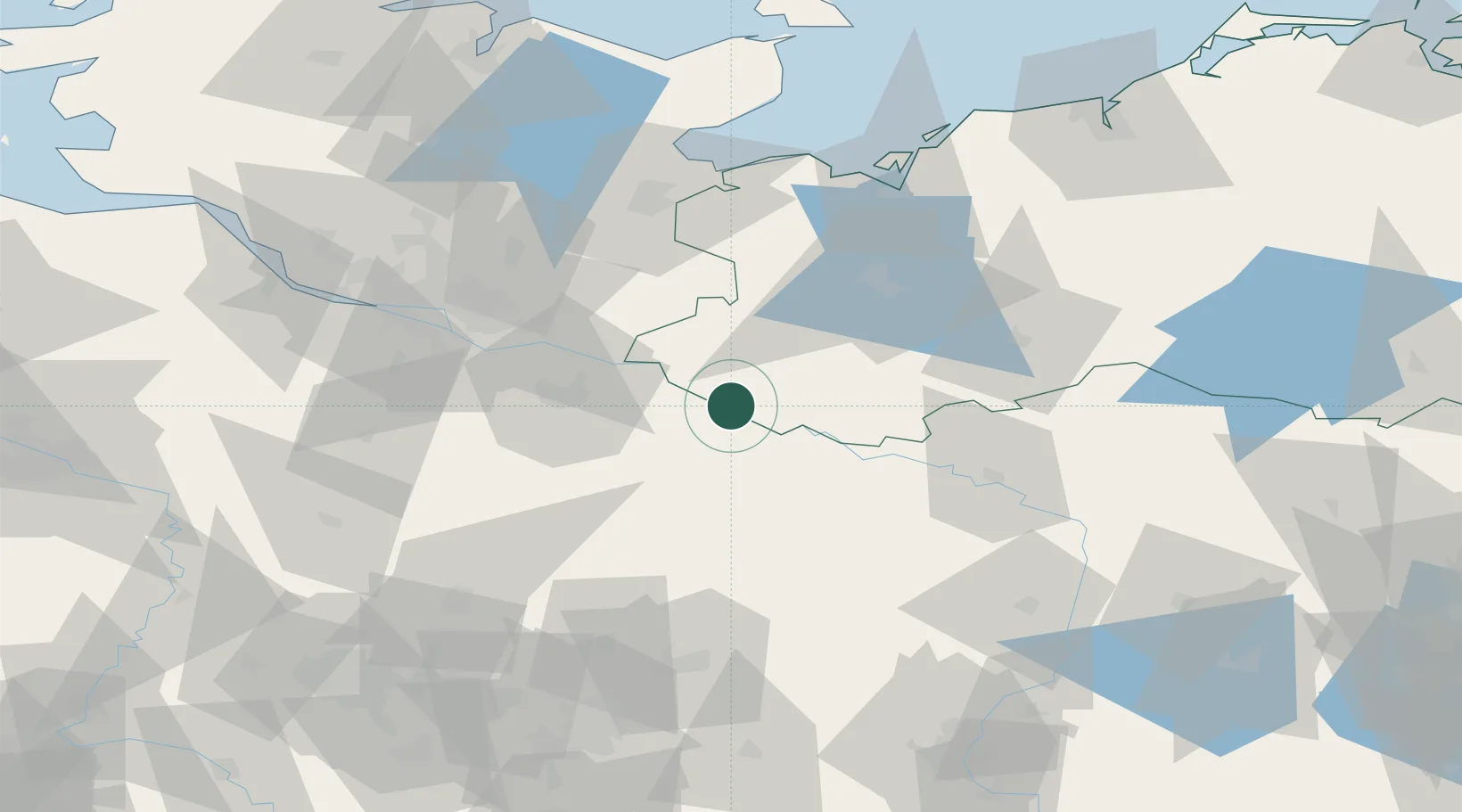
Location
Nearby Logistics Neighbours
Ports
- 1Lubeck74 km
- 2Hamburg75 km
- 3Lubeck-Travemunde82 km
- 4Wismar82 km
- 5Neustadt97 km
Airports
Trade Zones
DatabookThe Record of Consolidated Knowledge
Germany beyond logistics?