Transport Functions
Port
Multimodal
Hub Profile
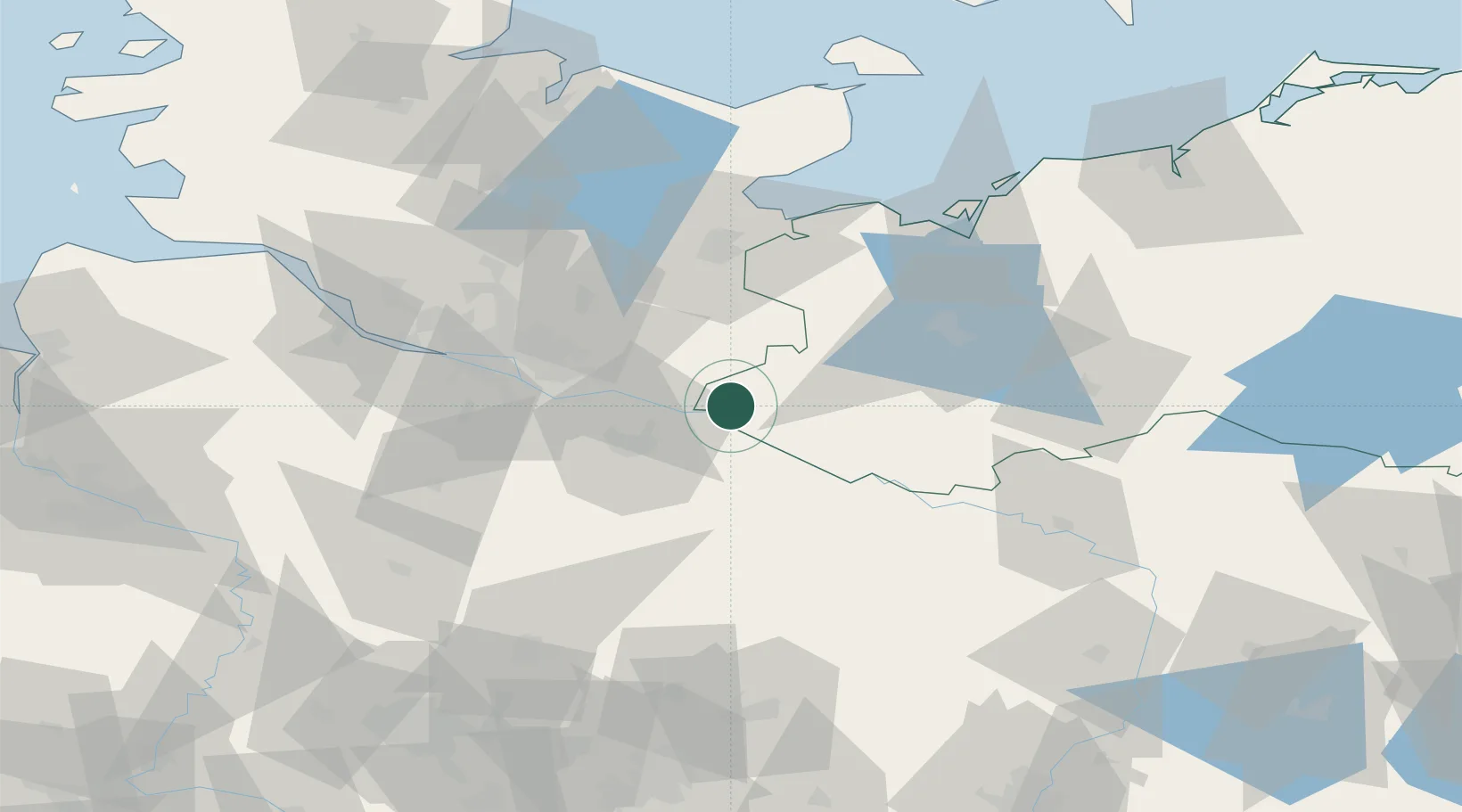
Place type
Populated place
Region
Mecklenburg-Vorpommern
Population
10,722
Time zone
Europe/Berlin
Elevation
10 m
Location
Nearby Logistics Neighbours
Cities
- 1Schwanheide6 km
- 2Bleckede9 km
- 3Lauenburg/Elbe10 km
- 4Büchen12 km
- 5Echem13 km
Ports
- 1Hamburg55 km
- 2Lubeck56 km
- 3Lubeck-Travemunde66 km
- 4Wismar76 km
- 5Neustadt80 km
Airports
Trade Zones
DatabookThe Record of Consolidated Knowledge
Germany beyond logistics?