UN/LOCODE hub · Germany
DEAHU

Am Hund

50.1667°, 7.6833°
1
Transport functions

Transport Functions

Port
UN/LOCODE

Hub Profile

Region
RP
GeoNames

Location

Location of DEAHU
Natural Earth 10m (public domain) · RP · DEAHU · 50.17, 7.68GoogleOSMYandex

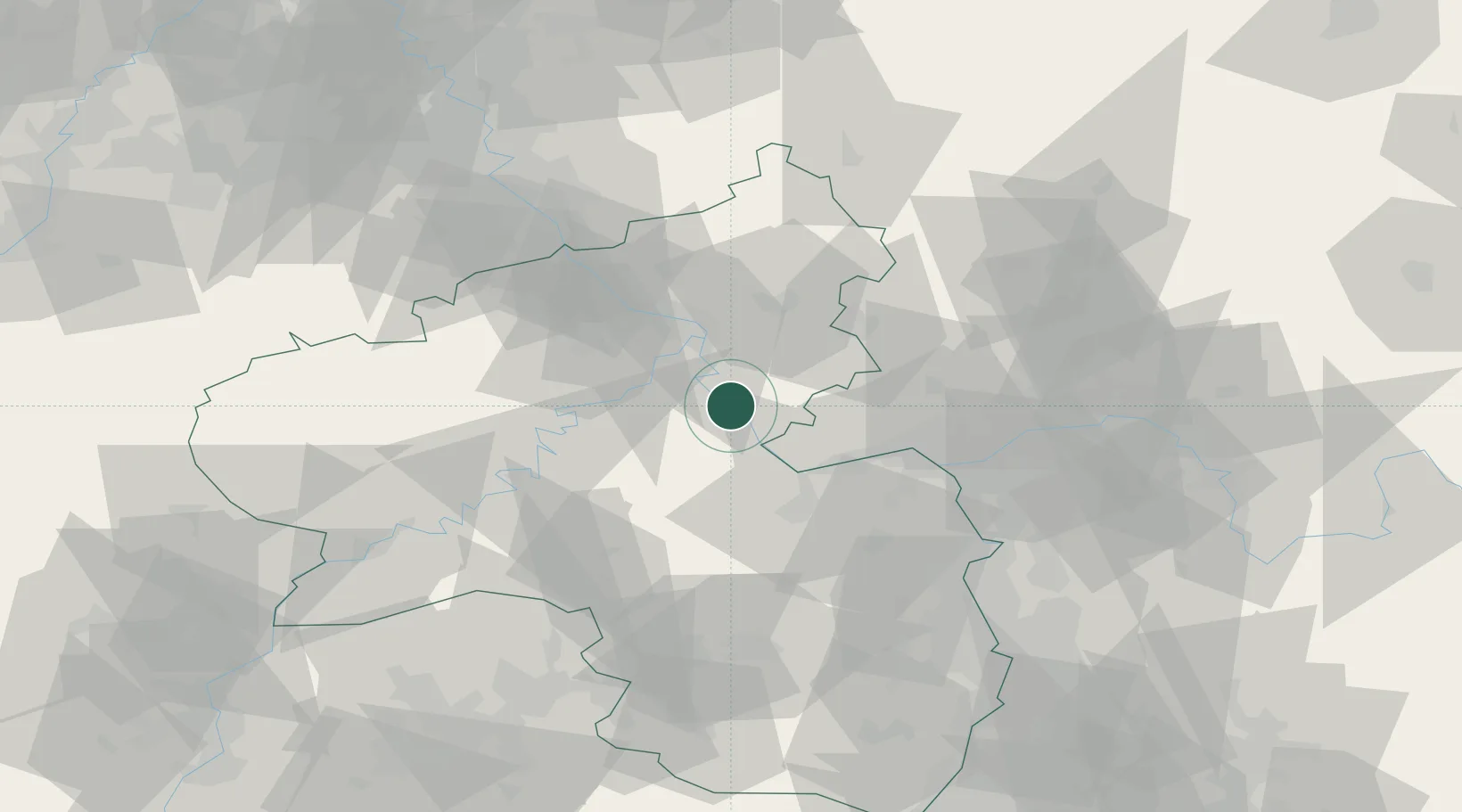
Nearby Logistics Neighbours

Cities
  1. 1Sankt Goarshausen4 km
  2. 2Oberwesel6 km
  3. 3Boppard10 km
  4. 4Spay10 km
  5. 5Weisel10 km
Nearest neighbours — logibook spatial index (haversine) over the source coordinates
Ports
  1. 1Bruxelles248 km
  2. 2Antwerpen259 km
  3. 3Dordrecht281 km
  4. 4Rotterdam295 km
  5. 5Hansweert296 km
Nearest neighbours — logibook spatial index (haversine) over the source coordinates
Airports
  1. 1Frankfurt-Hahn Airport39 km
  2. 2Mainz-Finthen Airfield40 km
  3. 3Büchel Air Base44 km
  4. 4Wiesbaden Army Airfield48 km
  5. 5Frankfurt Main Airport64 km
Nearest neighbours — logibook spatial index (haversine) over the source coordinates
Trade Zones
  1. 1Luxembourg Free Port120 km
  2. 2Rheinische Revier SWZ124 km
  3. 3ZFU La Cité Behren-lès-Forbach124 km
  4. 4ZFU Woippy-Metz158 km
  5. 5ZFU Metz161 km
Nearest neighbours — logibook spatial index (haversine) over the source coordinates
DatabookThe Record of Consolidated Knowledge
Germany beyond logistics?
Browse databook

All Sources

LocationsUN/LOCODE
UN/LOCODE — free
Portsthe NGA World Port Index
Public domain (US gov)
AirportsOurAirports
Public domain
Trade Zonesthe World Bank SEZ database
CC BY 4.0
Trade ZonesOpen Zone Map
CC BY
← Germany locations