Transport Functions
Port
Multimodal
Hub Profile
Place type
Local administrative seat
Region
Bavaria
Population
1,435
Time zone
Europe/Berlin
Elevation
447 m
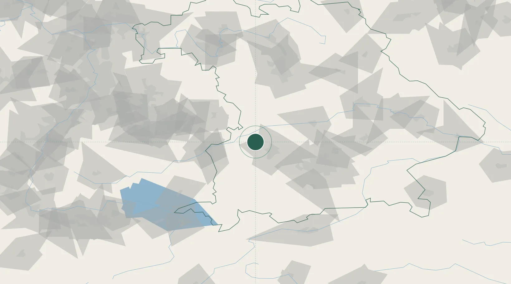
Location
Nearby Logistics Neighbours
Cities
- 1Welden6 km
- 2Heretsried6 km
- 3Adelsried10 km
- 4Horgau11 km
- 5Buttenwiesen12 km
Ports
- 1Nogaro359 km
- 2Porto Di Lido-Venezia368 km
- 3Grado370 km
- 4Monfalcone373 km
- 5Porto Di Chioggia384 km
Airports
- 1Augsburg Airport21 km
- 2Lechfeld Air Base38 km
- 3Neuburg Air Base46 km
- 4Altstetten Ultralight Field51 km
- 5Laupheim Air Base64 km
Trade Zones
- 1Freeport of Deggendorf169 km
- 2ZFU Neuhof214 km
- 3ZFU Hautepierre219 km
- 4Livigno Free Trade Zone223 km
- 5ZFU Mulhouse261 km
DatabookThe Record of Consolidated Knowledge
Germany beyond logistics?