Transport Functions
Road
Multimodal
Hub Profile
Place type
Local administrative seat
Region
Bavaria
Population
1,047
Time zone
Europe/Berlin
Elevation
505 m
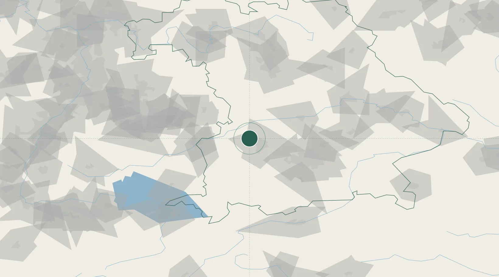
Location
Nearby Logistics Neighbours
Cities
- 1Welden5 km
- 2Adelsried6 km
- 3Emersacker6 km
- 4Horgau8 km
- 5Langweid9 km
Ports
- 1Nogaro353 km
- 2Porto Di Lido-Venezia363 km
- 3Grado364 km
- 4Monfalcone367 km
- 5Porto Di Chioggia379 km
Airports
- 1Augsburg Airport15 km
- 2Lechfeld Air Base33 km
- 3Neuburg Air Base44 km
- 4Altstetten Ultralight Field45 km
- 5Oberpfaffenhofen Airport59 km
Trade Zones
- 1Freeport of Deggendorf165 km
- 2ZFU Neuhof219 km
- 3Livigno Free Trade Zone220 km
- 4ZFU Hautepierre224 km
- 5ZFU Mulhouse265 km
DatabookThe Record of Consolidated Knowledge
Germany beyond logistics?