Transport Functions
Multimodal
Hub Profile
Place type
Populated place
Region
Thuringia
Population
3,143
Time zone
Europe/Berlin
Elevation
263 m
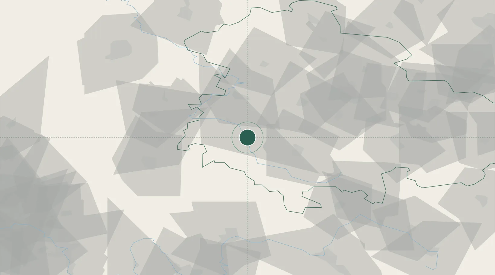
Location
Nearby Logistics Neighbours
Cities
- 1Niederschmalkalden1 km
- 2Schwallungen4 km
- 3Breitungen6 km
- 4Wasungen6 km
- 5Schmalkalden7 km
Airports
- 1Eisenach-Kindel Airport32 km
- 2Erfurt-Weimar Airport52 km
- 3Fritzlar Army Airfield87 km
- 4Bamberg-Breitenau Airfield97 km
- 5Kassel Airport103 km
Trade Zones
- 1Podbořany Industrial Zone223 km
- 2Žatec - Triangle Strategic Industrial Zone227 km
- 3Most - Joseph Industrial Zone234 km
- 4Freeport of Duisburg275 km
- 5Freeport of Deggendorf277 km
DatabookThe Record of Consolidated Knowledge
Germany beyond logistics?