Transport Functions
Port
Road
Hub Profile
Place type
Populated place
Region
Brandenburg
Time zone
Europe/Berlin
Elevation
34 m
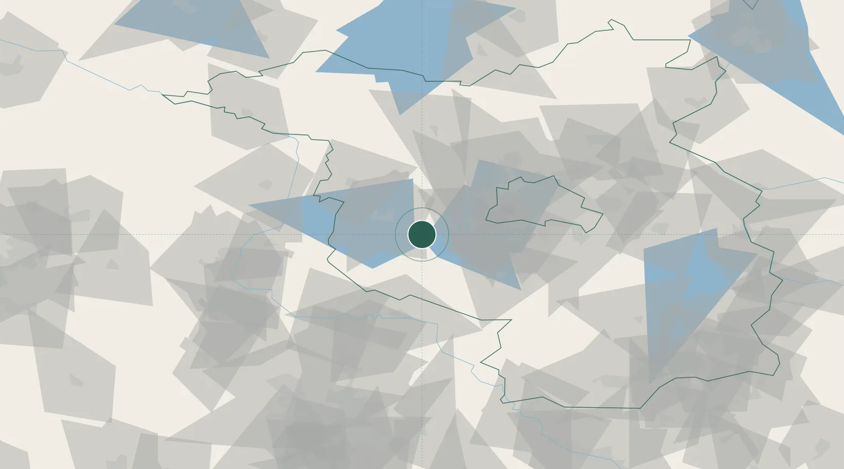
Location
Nearby Logistics Neighbours
Cities
- 1Lehnin2 km
- 2Ferch14 km
- 3Brück15 km
- 4Borkheide15 km
- 5Brandenburg16 km
Airports
- 1Berlin Brandenburg Airport52 km
- 2Zerbst Airfield54 km
- 3Holzdorf Air Base70 km
- 4Leipzig/Halle Airport107 km
- 5Neubrandenburg Trollenhagen Airport146 km
Trade Zones
- 1Kostrzyń-Słubice SEZ132 km
- 2Szczecin Duty Free Zone173 km
- 3Swinoujscie Duty Free Zone202 km
- 4Most - Joseph Industrial Zone215 km
- 5Žatec - Triangle Strategic Industrial Zone223 km
DatabookThe Record of Consolidated Knowledge
Germany beyond logistics?