Transport Functions
Rail
Road
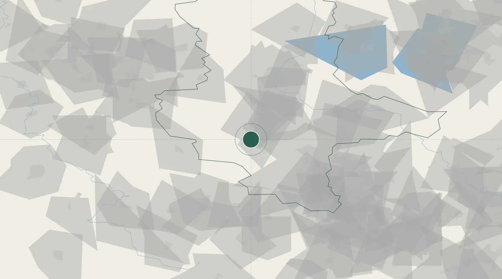
Hub Profile
Place type
Populated place
Region
Saxony-Anhalt
Time zone
Europe/Berlin
Elevation
180 m
Location
Nearby Logistics Neighbours
Cities
- 1Grossörner3 km
- 2Helbra7 km
- 3Polleben10 km
- 4Eisleben10 km
- 5Alsleben19 km
Airports
- 1Leipzig/Halle Airport58 km
- 2Zerbst Airfield66 km
- 3Erfurt-Weimar Airport77 km
- 4Eisenach-Kindel Airport96 km
- 5Leipzig–Altenburg Airport101 km
Trade Zones
DatabookThe Record of Consolidated Knowledge
Germany beyond logistics?