Transport Functions
Multimodal
Hub Profile
Place type
Populated place
Region
Saxony-Anhalt
Population
1,088
Time zone
Europe/Berlin
Elevation
169 m
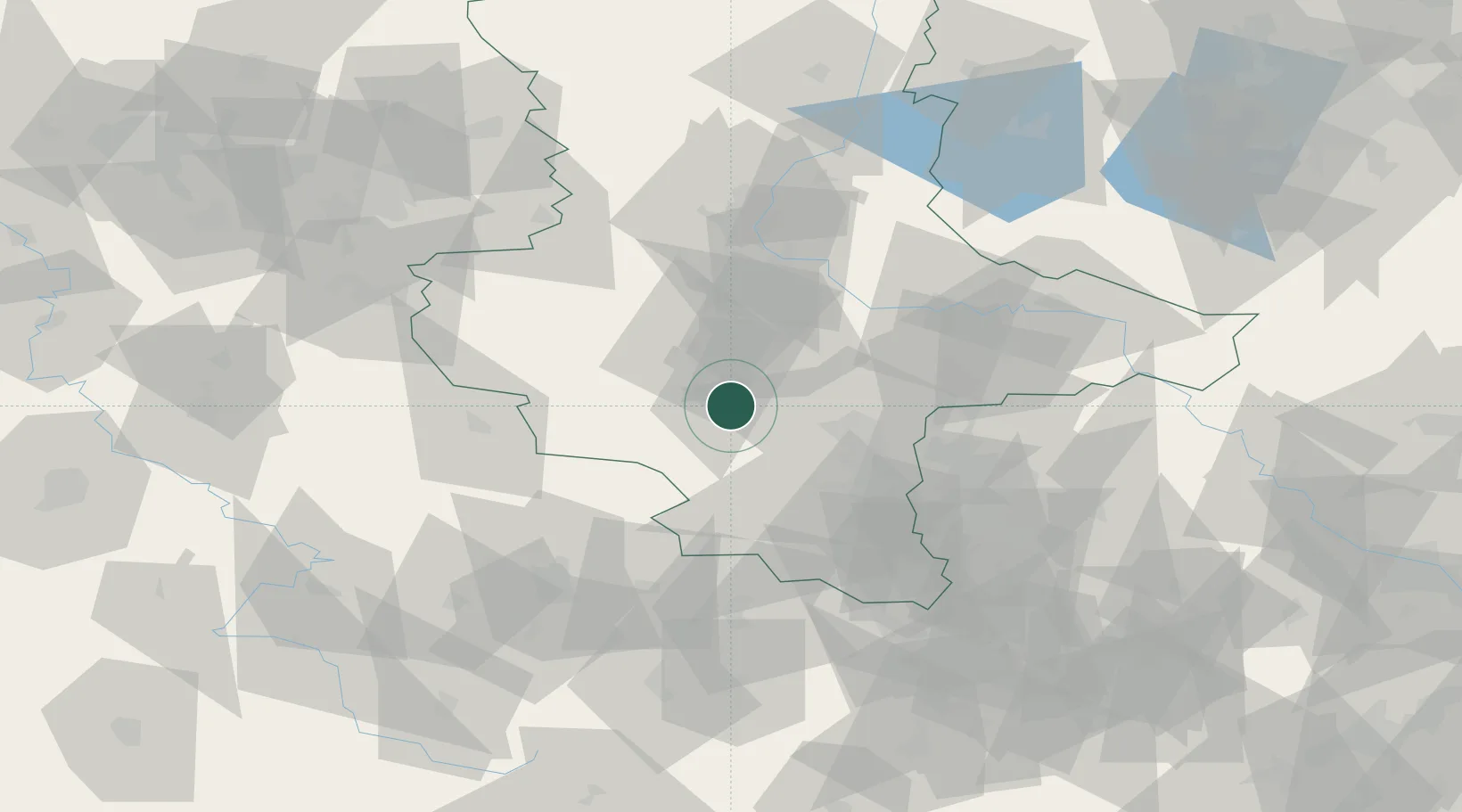
Location
Nearby Logistics Neighbours
Cities
- 1Eisleben4 km
- 2Helbra6 km
- 3Grossörner9 km
- 4Leimbach10 km
- 5Röblingen am See14 km
Airports
- 1Leipzig/Halle Airport48 km
- 2Zerbst Airfield62 km
- 3Erfurt-Weimar Airport79 km
- 4Leipzig–Altenburg Airport91 km
- 5Eisenach-Kindel Airport100 km
Trade Zones
DatabookThe Record of Consolidated Knowledge
Germany beyond logistics?