UN/LOCODE hub · Germany
DEBLD
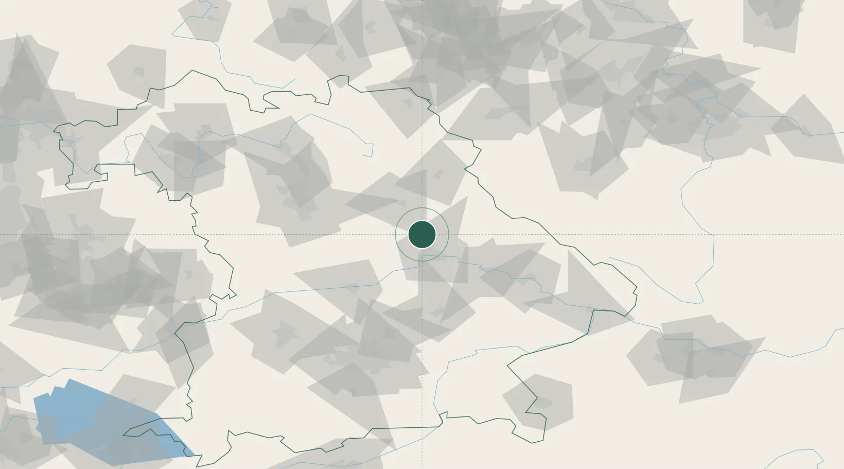
Burglengenfeld
49.2000°, 12.0333°
12,095
Population
3
Transport functions
Transport Functions
Port
Rail
Road
Hub Profile
Place type
Populated place
Region
Bavaria
Population
12,095
Time zone
Europe/Berlin
Elevation
368 m
Location
Nearby Logistics Neighbours
Cities
- 1Teublitz4 km
- 2Maxhütte-Haidhof5 km
- 3Raitenbuch15 km
- 4Babelsberg16 km
- 5Pettendorf17 km
Ports
- 1Nogaro392 km
- 2Monfalcone397 km
- 3Grado401 km
- 4Trieste415 km
- 5Muggia421 km
Airports
- 1Hohenfels Army Airfield14 km
- 2Grafenwöhr Army Air Field56 km
- 3Ingolstadt Manching Airport65 km
- 4Landshut Airfield77 km
- 5Nuremberg Airport77 km
Trade Zones
DatabookThe Record of Consolidated Knowledge
Germany beyond logistics?