Transport Functions
Rail
Road
Hub Profile
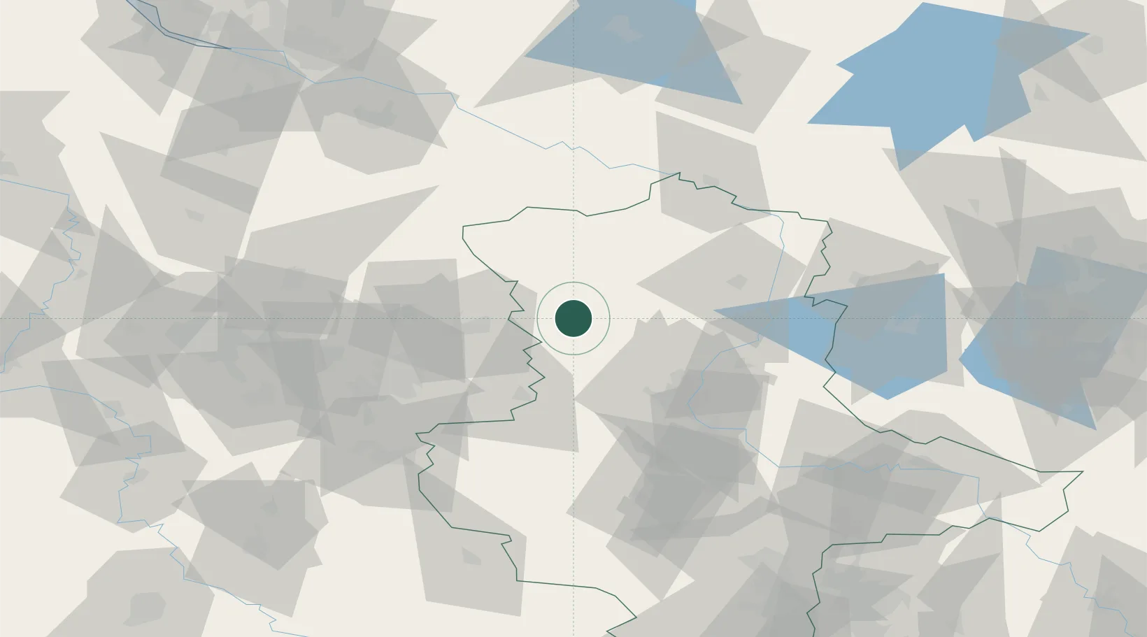
Place type
Populated place
Region
Saxony-Anhalt
Population
2,335
Time zone
Europe/Berlin
Elevation
60 m
Location
Nearby Logistics Neighbours
Cities
- 1Oebisfelde15 km
- 2Klötze17 km
- 3Mariental25 km
- 4Hinternah28 km
- 5Apenburg28 km
Ports
- 1Hamburg147 km
- 2Wismar160 km
- 3Lubeck161 km
- 4Lubeck-Travemunde168 km
- 5Butzfleth173 km
Airports
- 1Braunschweig-Wolfsburg Airport47 km
- 2Celle Army Airfield81 km
- 3Zerbst Airfield83 km
- 4Faßberg Air Base85 km
- 5Hannover Airport103 km
Trade Zones
DatabookThe Record of Consolidated Knowledge
Germany beyond logistics?