Transport Functions
Port
Road
Hub Profile
Place type
Urban district
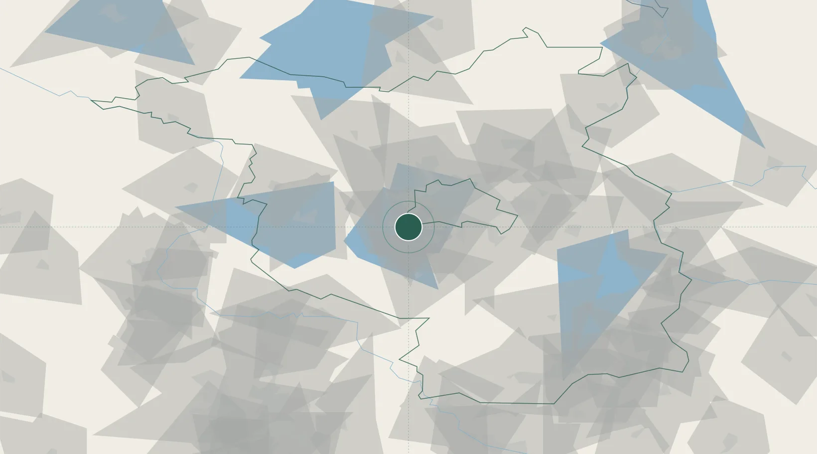
Region
Brandenburg
Time zone
Europe/Berlin
Elevation
38 m
Location
Nearby Logistics Neighbours
Cities
- 1Potsdam4 km
- 2Philippsthal6 km
- 3Stahnsdorf7 km
- 4Michendorf9 km
- 5Kleinmachnow9 km
Ports
- 1Szczecin150 km
- 2Police164 km
- 3Swinoujscie187 km
- 4Wolgast191 km
- 5Wismar201 km
Airports
- 1Berlin Brandenburg Airport26 km
- 2Holzdorf Air Base69 km
- 3Zerbst Airfield79 km
- 4Leipzig/Halle Airport123 km
- 5Neubrandenburg Trollenhagen Airport136 km
Trade Zones
- 1Kostrzyń-Słubice SEZ106 km
- 2Szczecin Duty Free Zone151 km
- 3Swinoujscie Duty Free Zone185 km
- 4Most - Joseph Industrial Zone214 km
- 5Žatec - Triangle Strategic Industrial Zone223 km
DatabookThe Record of Consolidated Knowledge
Germany beyond logistics?