Transport Functions
Rail
Road
Hub Profile
Place type
Populated place
Region
Brandenburg
Time zone
Europe/Berlin
Elevation
34 m
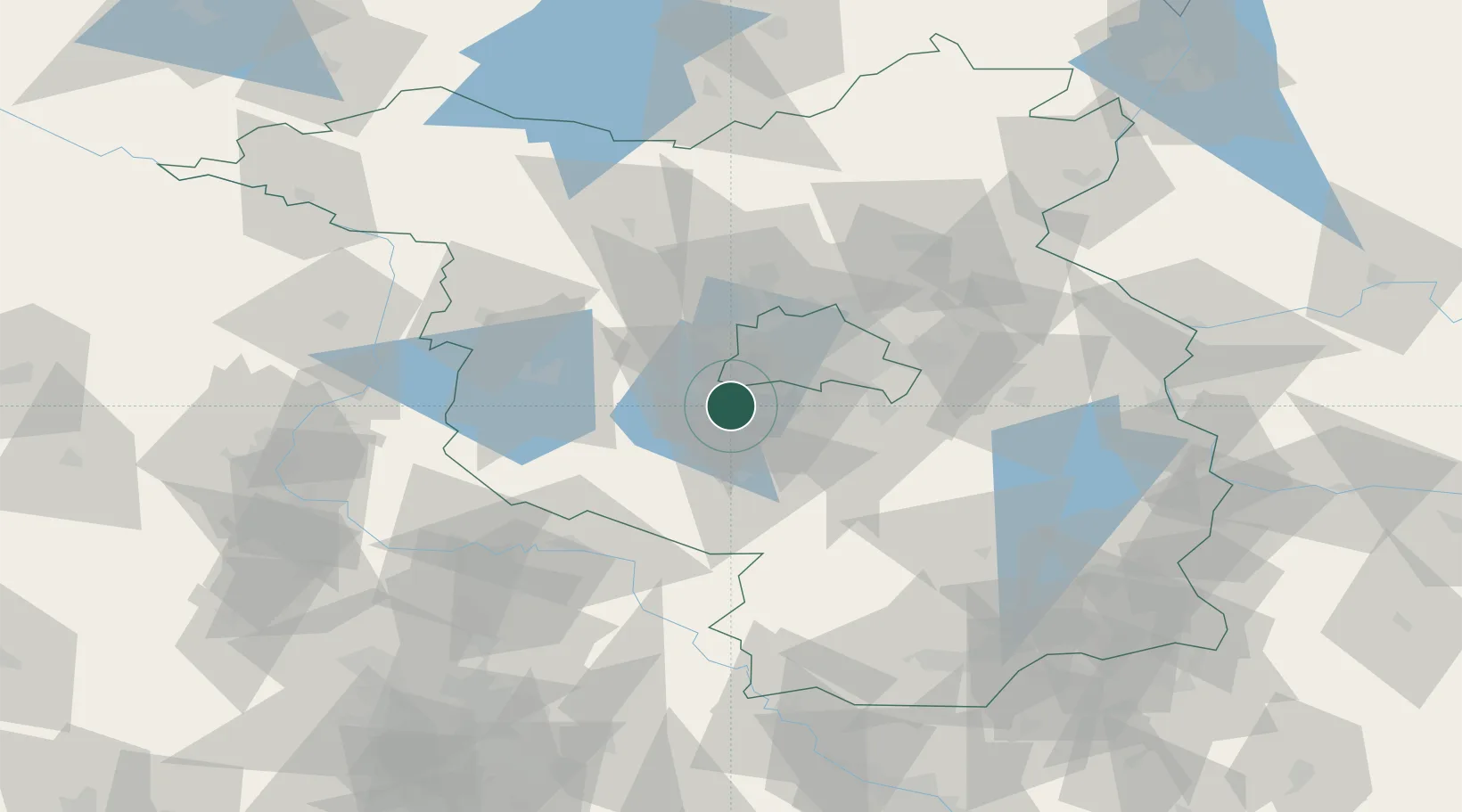
Location
Nearby Logistics Neighbours
Cities
- 1Babelsberg6 km
- 2Michendorf6 km
- 3Stahnsdorf8 km
- 4Potsdam9 km
- 5Kleinmachnow11 km
Ports
- 1Szczecin154 km
- 2Police167 km
- 3Swinoujscie192 km
- 4Wolgast196 km
- 5Wismar207 km
Airports
- 1Berlin Brandenburg Airport25 km
- 2Holzdorf Air Base63 km
- 3Zerbst Airfield77 km
- 4Leipzig/Halle Airport119 km
- 5Dresden Airport140 km
Trade Zones
- 1Kostrzyń-Słubice SEZ106 km
- 2Szczecin Duty Free Zone155 km
- 3Swinoujscie Duty Free Zone190 km
- 4Most - Joseph Industrial Zone209 km
- 5Žatec - Triangle Strategic Industrial Zone217 km
DatabookThe Record of Consolidated Knowledge
Germany beyond logistics?