Transport Functions
Rail
Road
Hub Profile
Place type
Local administrative seat
Region
Brandenburg
Population
10,743
Time zone
Europe/Berlin
Elevation
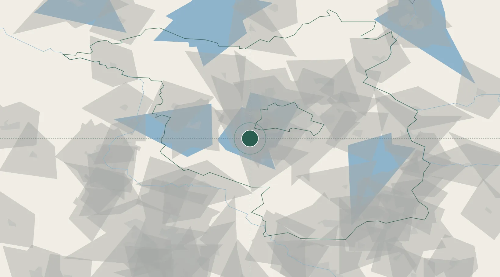
47 m
Location
Nearby Logistics Neighbours
Cities
- 1Neuseddin6 km
- 2Philippsthal6 km
- 3Schwielowsee6 km
- 4Ferch8 km
- 5Babelsberg9 km
Ports
- 1Szczecin158 km
- 2Police172 km
- 3Swinoujscie196 km
- 4Wolgast199 km
- 5Wismar205 km
Airports
- 1Berlin Brandenburg Airport31 km
- 2Holzdorf Air Base62 km
- 3Zerbst Airfield71 km
- 4Leipzig/Halle Airport114 km
- 5Dresden Airport141 km
Trade Zones
- 1Kostrzyń-Słubice SEZ112 km
- 2Szczecin Duty Free Zone160 km
- 3Swinoujscie Duty Free Zone194 km
- 4Most - Joseph Industrial Zone208 km
- 5Žatec - Triangle Strategic Industrial Zone216 km
DatabookThe Record of Consolidated Knowledge
Germany beyond logistics?