Transport Functions
Multimodal
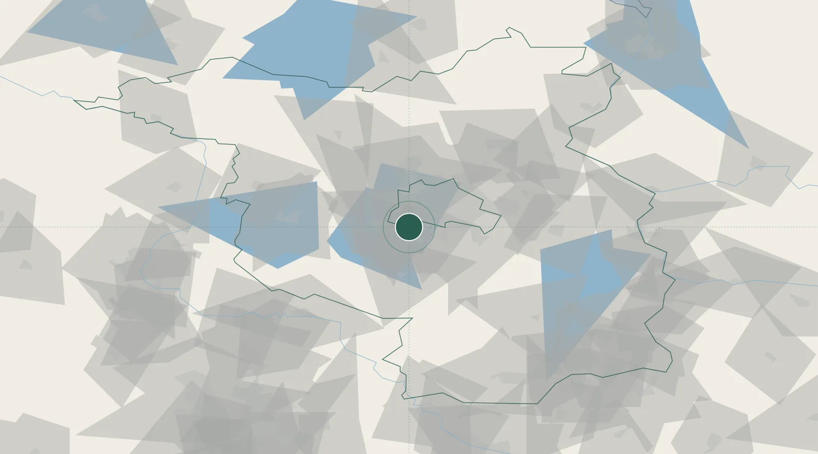
Hub Profile
Place type
Local administrative seat
Region
Brandenburg
Population
12,964
Time zone
Europe/Berlin
Elevation
43 m
Location
Nearby Logistics Neighbours
Cities
- 1Kleinmachnow3 km
- 2Teltow4 km
- 3Grossbeeren6 km
- 4Zehlendorf6 km
- 5Babelsberg7 km
Ports
- 1Szczecin146 km
- 2Police160 km
- 3Swinoujscie184 km
- 4Wolgast189 km
- 5Rostock204 km
Airports
- 1Berlin Brandenburg Airport20 km
- 2Holzdorf Air Base69 km
- 3Zerbst Airfield84 km
- 4Leipzig/Halle Airport127 km
- 5Neubrandenburg Trollenhagen Airport136 km
Trade Zones
DatabookThe Record of Consolidated Knowledge
Germany beyond logistics?