Transport Functions
Rail
Road
Hub Profile
Place type
Local administrative seat
Region
Brandenburg
Population
17,892
Time zone
Europe/Berlin
Elevation
47 m
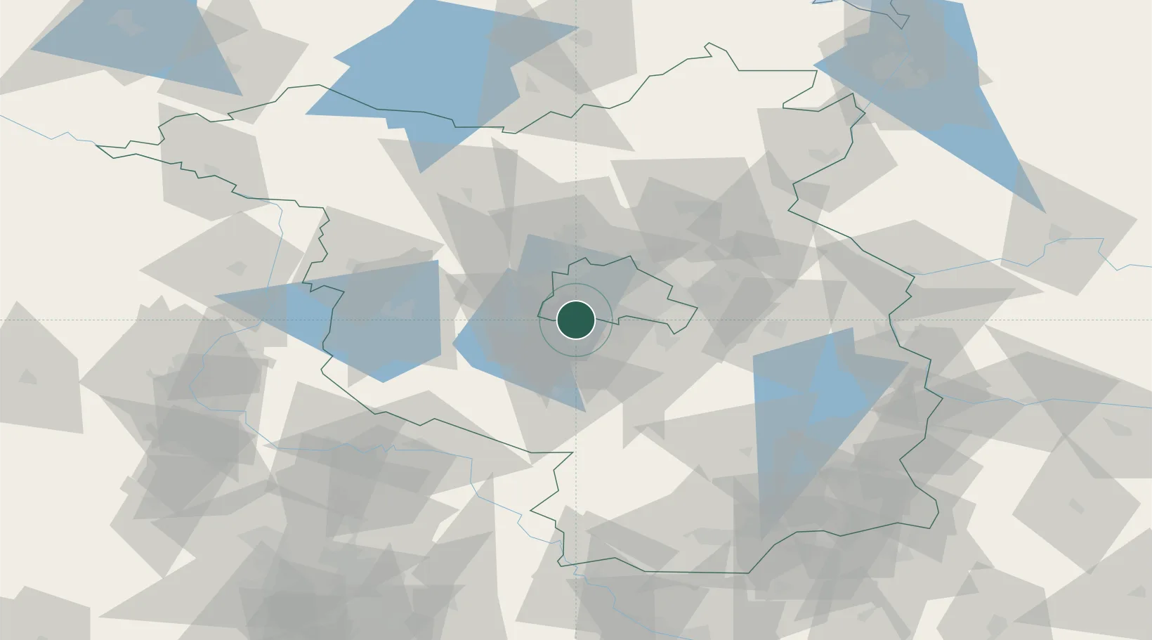
Location
Nearby Logistics Neighbours
Cities
- 1Teltow1 km
- 2Stahnsdorf3 km
- 3Zehlendorf4 km
- 4Grossbeeren5 km
- 5Berlin7 km
Ports
- 1Szczecin143 km
- 2Police157 km
- 3Swinoujscie182 km
- 4Wolgast187 km
- 5Rostock203 km
Airports
- 1Berlin Brandenburg Airport18 km
- 2Holzdorf Air Base71 km
- 3Zerbst Airfield87 km
- 4Leipzig/Halle Airport129 km
- 5Neubrandenburg Trollenhagen Airport134 km
Trade Zones
- 1Kostrzyń-Słubice SEZ97 km
- 2Szczecin Duty Free Zone144 km
- 3Swinoujscie Duty Free Zone180 km
- 4Most - Joseph Industrial Zone215 km
- 5Legnica SEZ (Legnicka SSE)222 km
DatabookThe Record of Consolidated Knowledge
Germany beyond logistics?