Transport Functions
Rail
Road
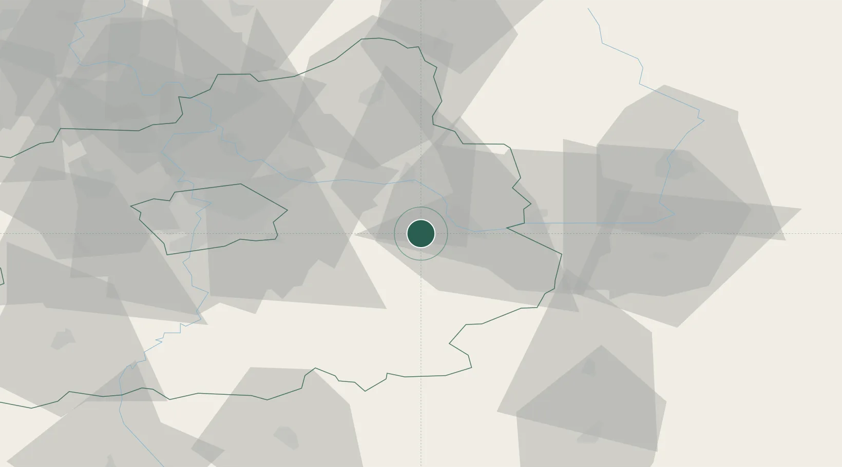
Hub Profile
Place type
Populated place
Region
Královéhradecký kraj
Population
3,122
Time zone
Europe/Prague
Elevation
243 m
Location
Nearby Logistics Neighbours
Cities
- 1Kolín8 km
- 2Veltruby10 km
- 3Velký Osek11 km
- 4Zdánice (Kolín)11 km
- 5Libice nad Cidlinou13 km
Ports
- 1Szczecin380 km
- 2Police396 km
- 3Swinoujscie437 km
- 4Wolgast457 km
- 5Kolobrzeg468 km
Airports
- 1Čáslav Air Base23 km
- 2Kostomlaty Airstrip24 km
- 3Prague–Kbely Air Base40 km
- 4Pardubice Airport47 km
- 5Vodochody Airport54 km
Trade Zones
DatabookThe Record of Consolidated Knowledge
Czechia beyond logistics?