Transport Functions
Rail
Road
Hub Profile
Place type
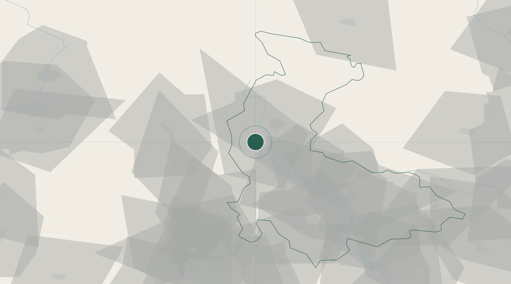
Populated place
Region
Olomoucký
Population
13,320
Time zone
Europe/Prague
Elevation
285 m
Location
Nearby Logistics Neighbours
Cities
- 1Dubicko8 km
- 2Vikyrovice16 km
- 3Lostice16 km
- 4Kuncina18 km
- 5Lanskroun18 km
Ports
- 1Szczecin424 km
- 2Police439 km
- 3Swinoujscie483 km
- 4Monfalcone519 km
- 5Trieste525 km
Airports
- 1Přerov Air Base64 km
- 2Pardubice Airport82 km
- 3Brno-Tuřany Airport82 km
- 4Leoš Janáček Airport Ostrava92 km
- 5Náměšť Air Base96 km
Trade Zones
DatabookThe Record of Consolidated Knowledge
Czechia beyond logistics?