Transport Functions
Multimodal
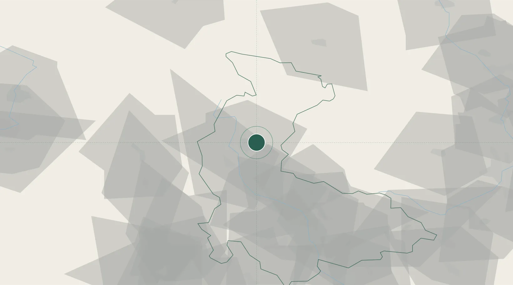
Hub Profile
Place type
Populated place
Region
Olomoucký
Population
2,064
Time zone
Europe/Prague
Elevation
336 m
Location
Nearby Logistics Neighbours
Cities
- 1Loucna Nad Desnou11 km
- 2Zábreh16 km
- 3Dubicko17 km
- 4Strazna19 km
- 5Cervená Voda20 km
Ports
- 1Szczecin418 km
- 2Police433 km
- 3Swinoujscie476 km
- 4Monfalcone534 km
- 5Trieste540 km
Airports
- 1Přerov Air Base68 km
- 2Leoš Janáček Airport Ostrava85 km
- 3Pardubice Airport91 km
- 4Brno-Tuřany Airport95 km
- 5Kunovice Airport110 km
Trade Zones
DatabookThe Record of Consolidated Knowledge
Czechia beyond logistics?