Transport Functions
Multimodal
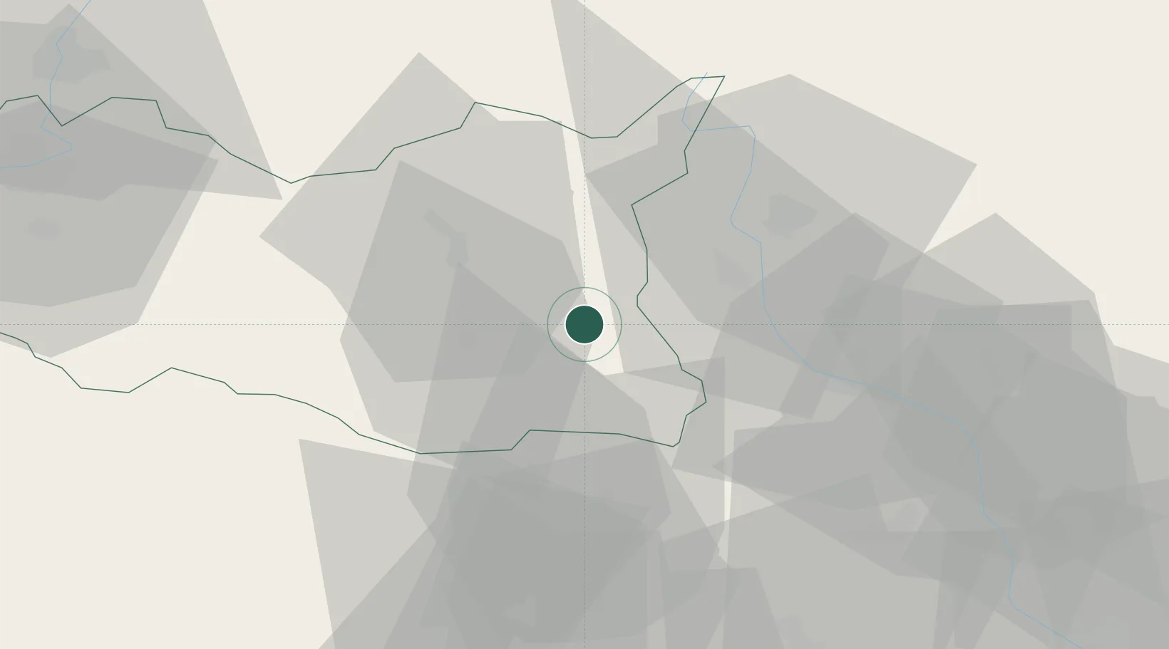
Hub Profile
Place type
Populated place
Region
Pardubický
Population
1,191
Time zone
Europe/Prague
Elevation
374 m
Location
Nearby Logistics Neighbours
Cities
- 1Lanskroun13 km
- 2Hranicky14 km
- 3Chornice17 km
- 4Ceská Trebová17 km
- 5Zábreh18 km
Ports
- 1Szczecin428 km
- 2Police443 km
- 3Swinoujscie486 km
- 4Monfalcone503 km
- 5Trieste510 km
Airports
- 1Přerov Air Base69 km
- 2Pardubice Airport69 km
- 3Brno-Tuřany Airport72 km
- 4Náměšť Air Base80 km
- 5Čáslav Air Base92 km
Trade Zones
DatabookThe Record of Consolidated Knowledge
Czechia beyond logistics?