Transport Functions
Multimodal
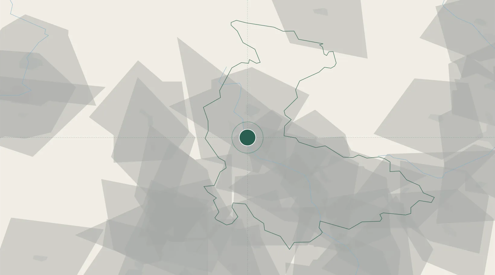
Hub Profile
Place type
Populated place
Region
Olomoucký
Population
1,082
Time zone
Europe/Prague
Elevation
272 m
Location
Nearby Logistics Neighbours
Ports
- 1Szczecin432 km
- 2Police446 km
- 3Swinoujscie490 km
- 4Monfalcone517 km
- 5Trieste523 km
Airports
- 1Přerov Air Base56 km
- 2Brno-Tuřany Airport78 km
- 3Leoš Janáček Airport Ostrava85 km
- 4Pardubice Airport89 km
- 5Náměšť Air Base95 km
Trade Zones
DatabookThe Record of Consolidated Knowledge
Czechia beyond logistics?