Transport Functions
Road
Multimodal
Hub Profile
Place type
Populated place
Region
Pardubický
Population
9,847
Time zone
Europe/Prague
Elevation
383 m
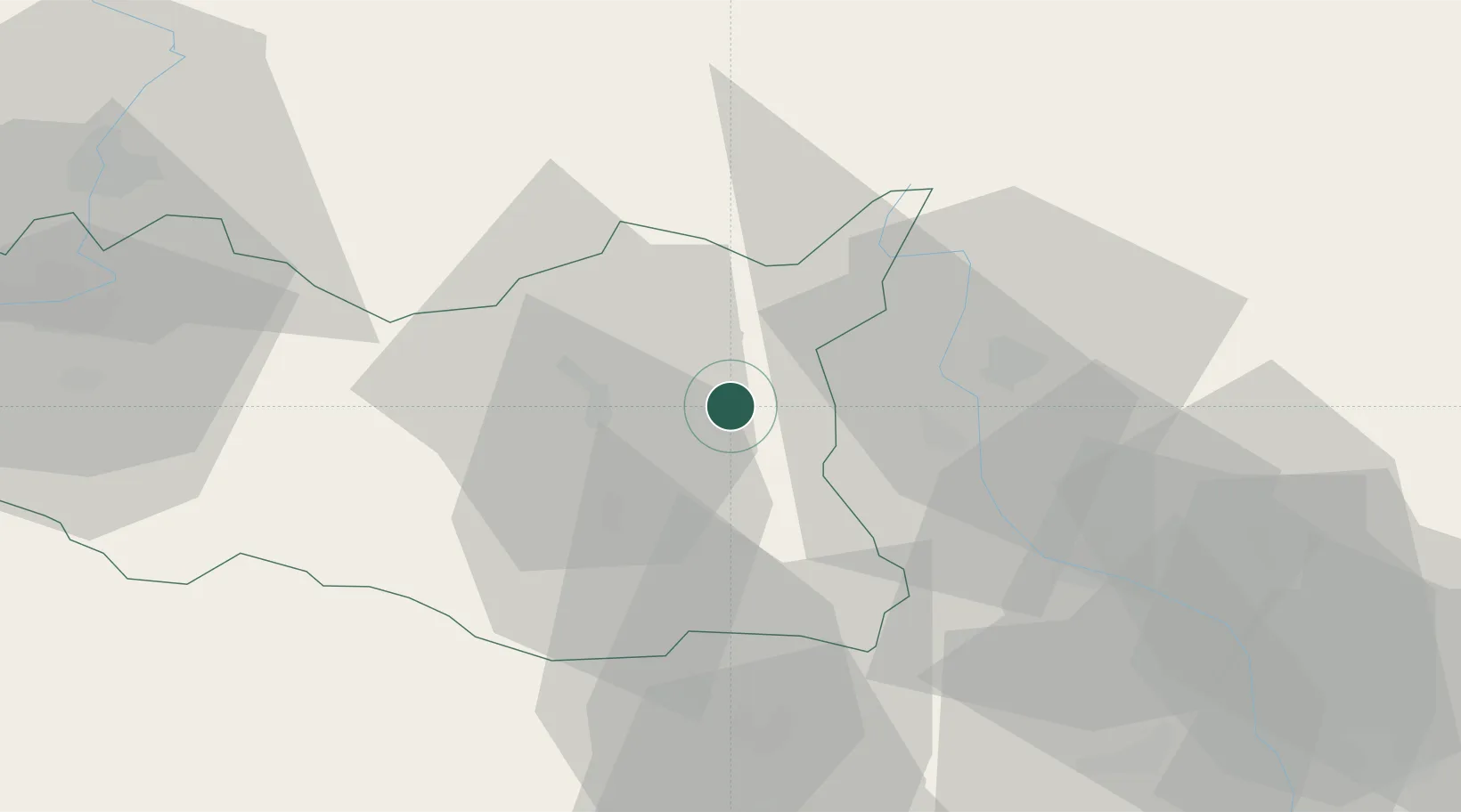
Location
Nearby Logistics Neighbours
Cities
- 1Vermerovice10 km
- 2Ceská Trebová12 km
- 3Jablonné nad Orlicí13 km
- 4Kuncina13 km
- 5Cervená Voda16 km
Ports
- 1Szczecin414 km
- 2Police430 km
- 3Swinoujscie473 km
- 4Monfalcone513 km
- 5Trieste521 km
Airports
- 1Pardubice Airport64 km
- 2Přerov Air Base79 km
- 3Brno-Tuřany Airport85 km
- 4Čáslav Air Base88 km
- 5Náměšť Air Base91 km
DatabookThe Record of Consolidated Knowledge
Czechia beyond logistics?