Transport Functions
Multimodal
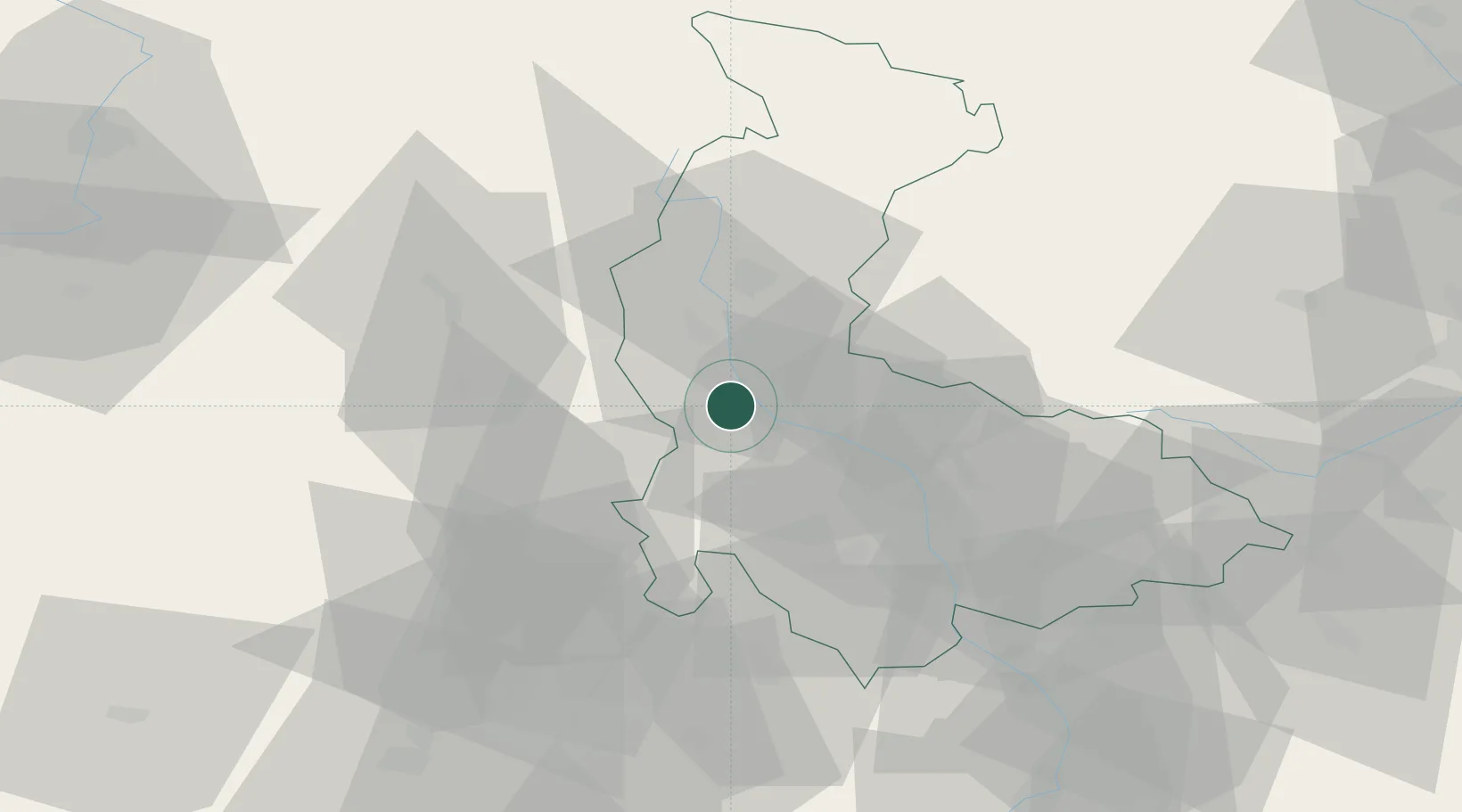
Hub Profile
Place type
Populated place
Region
Olomoucký
Population
3,098
Time zone
Europe/Prague
Elevation
260 m
Location
Nearby Logistics Neighbours
Ports
- 1Szczecin440 km
- 2Police455 km
- 3Swinoujscie498 km
- 4Monfalcone508 km
- 5Trieste514 km
Airports
- 1Přerov Air Base50 km
- 2Brno-Tuřany Airport69 km
- 3Leoš Janáček Airport Ostrava85 km
- 4Náměšť Air Base87 km
- 5Kunovice Airport88 km
Trade Zones
DatabookThe Record of Consolidated Knowledge
Czechia beyond logistics?