Transport Functions
Multimodal
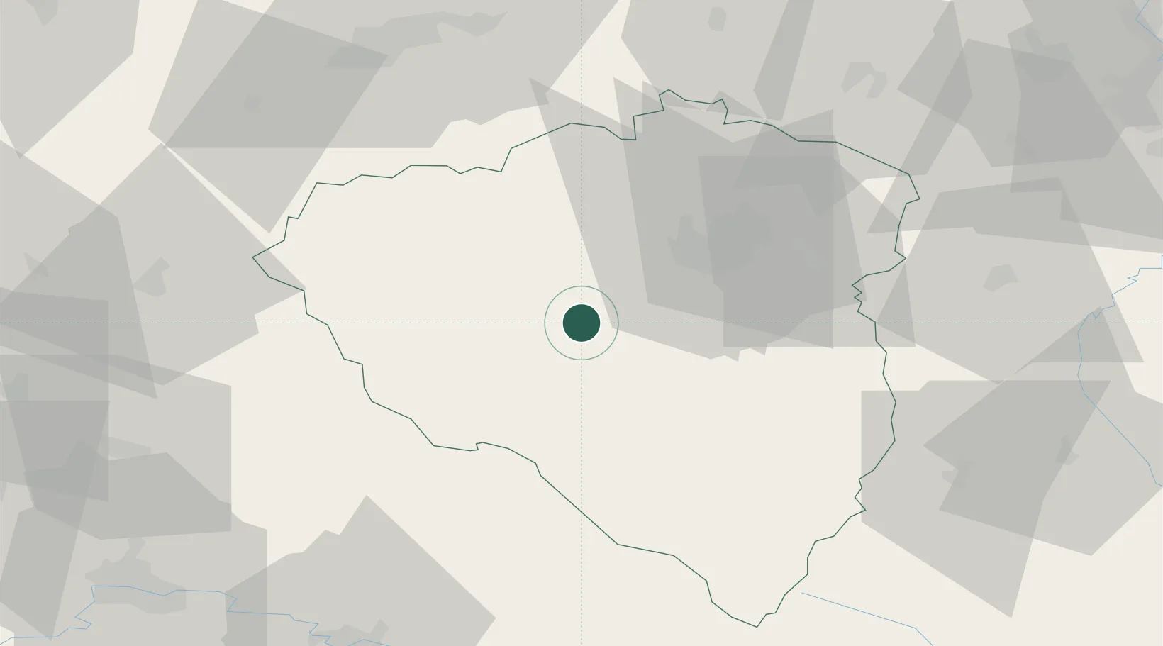
Hub Profile
Place type
Populated place
Region
Plzeň Region
Population
4,659
Time zone
Europe/Prague
Elevation
367 m
Location
Nearby Logistics Neighbours
Cities
- 1Stankov6 km
- 2Hermanova Hut11 km
- 3Zbuch13 km
- 4Birkov13 km
- 5Dobrany14 km
Ports
- 1Monfalcone426 km
- 2Nogaro427 km
- 3Grado434 km
- 4Szczecin436 km
- 5Trieste442 km
Airports
- 1Plzeň-Líně Airport15 km
- 2Karlovy Vary Airport68 km
- 3Grafenwöhr Army Air Field84 km
- 4Václav Havel Airport Prague100 km
- 5Hohenfels Army Airfield101 km
Trade Zones
DatabookThe Record of Consolidated Knowledge
Czechia beyond logistics?