Transport Functions
Rail
Road
Hub Profile
Place type
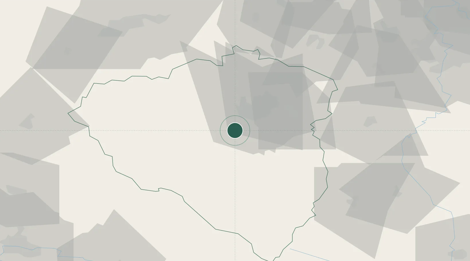
Populated place
Region
Plzeň Region
Population
5,779
Time zone
Europe/Prague
Elevation
327 m
Location
Nearby Logistics Neighbours
Cities
- 1Chlumcany u Prestic2 km
- 2Zbuch6 km
- 3Litice7 km
- 4Vejprnice9 km
- 5Nýrany10 km
Ports
- 1Szczecin428 km
- 2Monfalcone430 km
- 3Nogaro433 km
- 4Grado440 km
- 5Police444 km
Airports
- 1Plzeň-Líně Airport3 km
- 2Karlovy Vary Airport67 km
- 3Václav Havel Airport Prague86 km
- 4Grafenwöhr Army Air Field97 km
- 5Vodochody Airport102 km
Trade Zones
DatabookThe Record of Consolidated Knowledge
Czechia beyond logistics?