Transport Functions
Multimodal
Hub Profile
Place type
Populated place
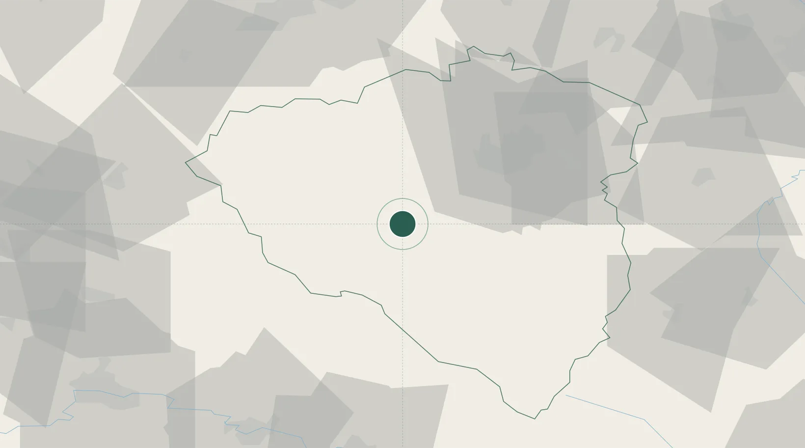
Region
Plzeň Region
Population
3,026
Time zone
Europe/Prague
Elevation
359 m
Location
Nearby Logistics Neighbours
Cities
- 1Holýsov6 km
- 2Birkov13 km
- 3Hermanova Hut17 km
- 4Kdyne17 km
- 5Kout na Sumave17 km
Ports
- 1Monfalcone420 km
- 2Nogaro422 km
- 3Grado429 km
- 4Trieste437 km
- 5Szczecin442 km
Airports
- 1Plzeň-Líně Airport21 km
- 2Karlovy Vary Airport73 km
- 3Grafenwöhr Army Air Field83 km
- 4Hohenfels Army Airfield97 km
- 5Václav Havel Airport Prague105 km
Trade Zones
DatabookThe Record of Consolidated Knowledge
Czechia beyond logistics?