Transport Functions
Rail
Hub Profile
Place type
Populated place
Region
Plzeň Region
Population
1,794
Time zone
Europe/Prague
Elevation
367 m
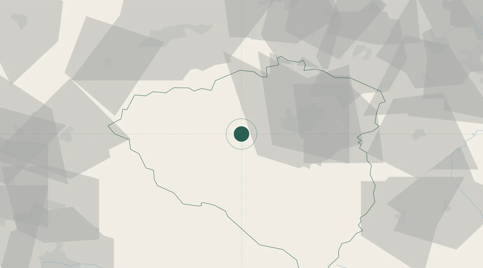
Location
Nearby Logistics Neighbours
Ports
- 1Szczecin426 km
- 2Monfalcone437 km
- 3Nogaro438 km
- 4Police442 km
- 5Grado445 km
Airports
- 1Plzeň-Líně Airport14 km
- 2Karlovy Vary Airport57 km
- 3Grafenwöhr Army Air Field82 km
- 4Václav Havel Airport Prague95 km
- 5Hohenfels Army Airfield105 km
Trade Zones
DatabookThe Record of Consolidated Knowledge
Czechia beyond logistics?