Transport Functions
Multimodal
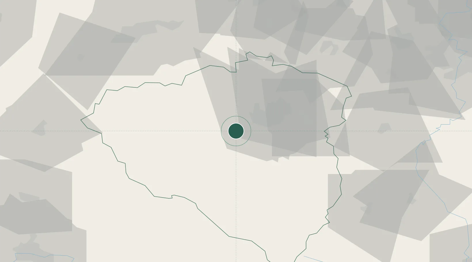
Hub Profile
Place type
Populated place
Region
Plzeň Region
Population
1,890
Time zone
Europe/Prague
Elevation
358 m
Location
Nearby Logistics Neighbours
Cities
- 1Nýrany4 km
- 2Plzen5 km
- 3Dobrany6 km
- 4Vejprnice7 km
- 5Chlumcany u Prestic8 km
Ports
- 1Szczecin425 km
- 2Monfalcone434 km
- 3Nogaro436 km
- 4Police442 km
- 5Grado443 km
Airports
- 1Plzeň-Líně Airport4 km
- 2Karlovy Vary Airport62 km
- 3Václav Havel Airport Prague88 km
- 4Grafenwöhr Army Air Field92 km
- 5Vodochody Airport103 km
Trade Zones
DatabookThe Record of Consolidated Knowledge
Czechia beyond logistics?