UN/LOCODE hub · Czechia
CZPBV

Birkov

49.5167°, 13.2333°
140
Population
1
Transport functions

Transport Functions

Multimodal
UN/LOCODE

Hub Profile

Place type
Populated place
GeoNames
Region
Plzeň Region
GeoNames
Population
140
GeoNames
Time zone
Europe/Prague
GeoNames
Elevation
422 m
GeoNames

Location

Location of CZPBV
Natural Earth 10m (public domain) · Plzeň Region · CZPBV · 49.52, 13.23GoogleOSMYandex

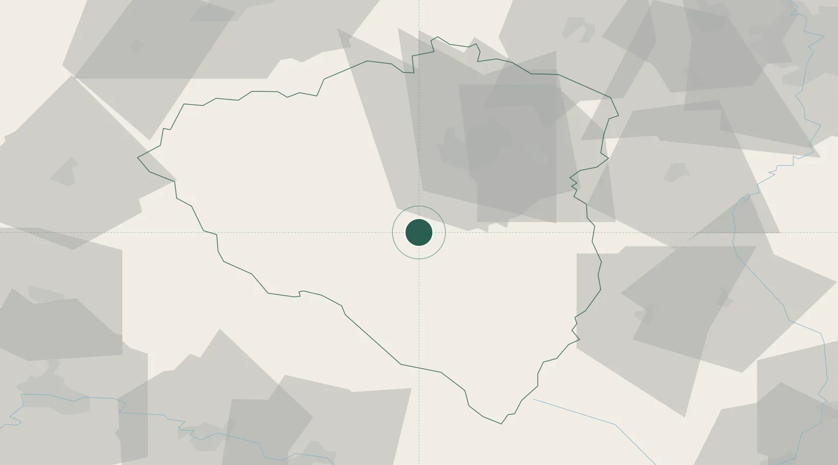
Nearby Logistics Neighbours

Cities
  1. 1Prestice9 km
  2. 2Stankov13 km
  3. 3Holýsov13 km
  4. 4Klatovy14 km
  5. 5Chlumcany u Prestic14 km
Nearest neighbours — logibook spatial index (haversine) over the source coordinates
Ports
  1. 1Monfalcone416 km
  2. 2Nogaro418 km
  3. 3Grado425 km
  4. 4Trieste432 km
  5. 5Muggia437 km
Nearest neighbours — logibook spatial index (haversine) over the source coordinates
Airports
  1. 1Plzeň-Líně Airport18 km
  2. 2Karlovy Vary Airport80 km
  3. 3Grafenwöhr Army Air Field95 km
  4. 4Václav Havel Airport Prague98 km
  5. 5Hohenfels Army Airfield107 km
Nearest neighbours — logibook spatial index (haversine) over the source coordinates
Trade Zones
  1. 1Freeport of Deggendorf78 km
  2. 2Podbořany Industrial Zone80 km
  3. 3Žatec - Triangle Strategic Industrial Zone100 km
  4. 4Most - Joseph Industrial Zone112 km
  5. 5Industrial Zone Kutna Hora155 km
Nearest neighbours — logibook spatial index (haversine) over the source coordinates
DatabookThe Record of Consolidated Knowledge
Czechia beyond logistics?
Browse databook

All Sources

LocationsUN/LOCODE
UN/LOCODE — free
LocationsGeoNames
CC BY 4.0
Portsthe NGA World Port Index
Public domain (US gov)
AirportsOurAirports
Public domain
Trade Zonesthe World Bank SEZ database
CC BY 4.0
Trade ZonesOpen Zone Map
CC BY
← Czechia locations