UN/LOCODE hub · Czechia
CZCDC

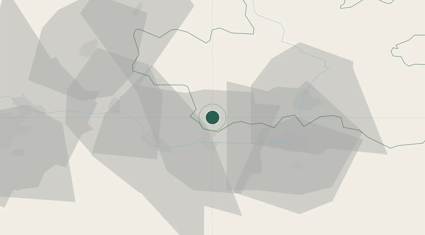
Chlumec nad Cidlinou

50.1500°, 15.4500°
5,292
Population
1
Transport functions

Transport Functions

Multimodal
UN/LOCODE

Hub Profile

Place type
Populated place
GeoNames
Region
Královéhradecký kraj
GeoNames
Population
5,292
GeoNames
Time zone
Europe/Prague
GeoNames
Elevation
222 m
GeoNames

Location

Location of CZCDC
Natural Earth 10m (public domain) · Královéhradecký kraj · CZCDC · 50.15, 15.45GoogleOSMYandex

Nearby Logistics Neighbours

Cities
  1. 1Kladruby Nad Labem11 km
  2. 2Trnavka13 km
  3. 3Týnec nad Labem15 km
  4. 4Prelouc15 km
  5. 5Nechanice16 km
Nearest neighbours — logibook spatial index (haversine) over the source coordinates
Ports
  1. 1Szczecin369 km
  2. 2Police385 km
  3. 3Swinoujscie427 km
  4. 4Wolgast448 km
  5. 5Kolobrzeg452 km
Nearest neighbours — logibook spatial index (haversine) over the source coordinates
Airports
  1. 1Čáslav Air Base24 km
  2. 2Pardubice Airport26 km
  3. 3Kostomlaty Airstrip38 km
  4. 4Prague–Kbely Air Base65 km
  5. 5Vodochody Airport75 km
Nearest neighbours — logibook spatial index (haversine) over the source coordinates
Trade Zones
  1. 1Kolín - Ovčáry Industrial Zone18 km
  2. 2Industrial Zone Kutna Hora27 km
  3. 3Pardubice City Industrial Zone30 km
  4. 4Světlá nad Sázavou Municipal Industrial Zone54 km
  5. 5Kamienna Góra82 km
Nearest neighbours — logibook spatial index (haversine) over the source coordinates
DatabookThe Record of Consolidated Knowledge
Czechia beyond logistics?
Browse databook

All Sources

LocationsUN/LOCODE
UN/LOCODE — free
LocationsGeoNames
CC BY 4.0
Portsthe NGA World Port Index
Public domain (US gov)
AirportsOurAirports
Public domain
Trade Zonesthe World Bank SEZ database
CC BY 4.0
Trade ZonesOpen Zone Map
CC BY
← Czechia locations