Transport Functions
Rail
Road
Border Crossing
Hub Profile
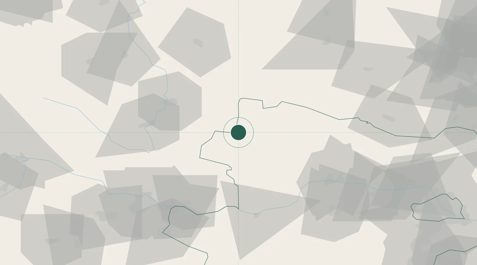
Place type
Populated place
Region
Jihočeský kraj
Population
3,479
Time zone
Europe/Prague
Elevation
492 m
Location
Nearby Logistics Neighbours
Cities
- 1Purbach9 km
- 2Gross Gerungs20 km
- 3Borovany28 km
- 4Trebon31 km
- 5Lisov39 km
Ports
- 1Monfalcone349 km
- 2Trieste359 km
- 3Nogaro361 km
- 4Muggia364 km
- 5Grado364 km
Airports
- 1České Budějovice South Bohemian Airport44 km
- 2Linz-Hörsching Airport82 km
- 3Náměšť Air Base96 km
- 4Brno-Tuřany Airport133 km
- 5Čáslav Air Base134 km
Trade Zones
DatabookThe Record of Consolidated Knowledge
Czechia beyond logistics?