Transport Functions
Rail
Road
Hub Profile
Place type
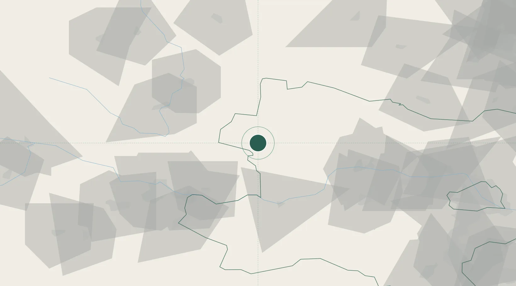
Populated place
Region
Lower Austria
Population
1,121
Time zone
Europe/Vienna
Elevation
675 m
Location
Nearby Logistics Neighbours
Cities
- 1Ceské Velenice20 km
- 2Purbach21 km
- 3Schönau im Mühlkreis27 km
- 4Kottes32 km
- 5Lasberg33 km
Ports
- 1Monfalcone329 km
- 2Trieste339 km
- 3Nogaro342 km
- 4Muggia344 km
- 5Grado344 km
Airports
- 1České Budějovice South Bohemian Airport56 km
- 2Linz-Hörsching Airport68 km
- 3Náměšť Air Base108 km
- 4Wiener Neustadt West Airport126 km
- 5Wiener Neustadt East Airport127 km
Trade Zones
DatabookThe Record of Consolidated Knowledge
Austria beyond logistics?