Transport Functions
Multimodal
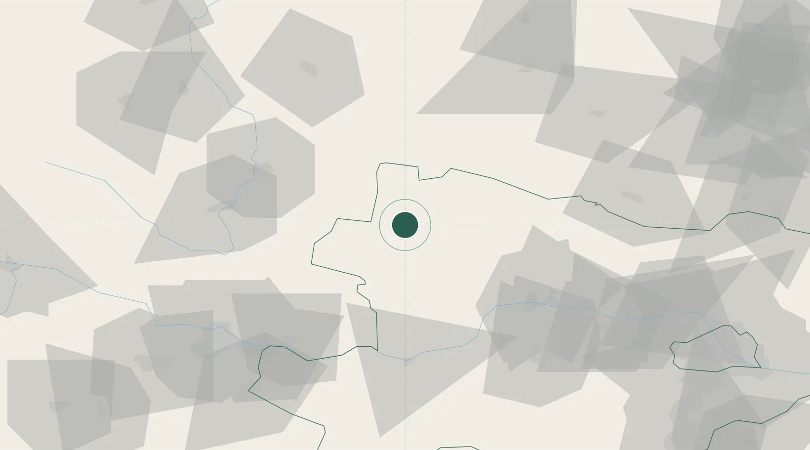
Hub Profile
Place type
Populated place
Region
Carinthia
Population
16
Time zone
Europe/Vienna
Elevation
1,068 m
Location
Nearby Logistics Neighbours
Cities
- 1Ceské Velenice9 km
- 2Gross Gerungs21 km
- 3Japons36 km
- 4Borovany36 km
- 5Trebon37 km
Ports
- 1Monfalcone350 km
- 2Trieste359 km
- 3Nogaro363 km
- 4Muggia364 km
- 5Grado365 km
Airports
- 1České Budějovice South Bohemian Airport53 km
- 2Linz-Hörsching Airport87 km
- 3Náměšť Air Base89 km
- 4Brno-Tuřany Airport126 km
- 5Vienna International Airport131 km
Trade Zones
DatabookThe Record of Consolidated Knowledge
Austria beyond logistics?