Transport Functions
Multimodal
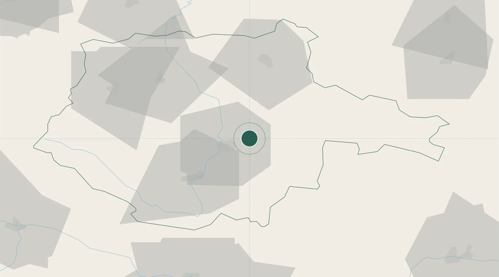
Hub Profile
Place type
Populated place
Region
Jihočeský kraj
Population
3,989
Time zone
Europe/Prague
Elevation
515 m
Location
Nearby Logistics Neighbours
Cities
- 1Ceské Budejovice10 km
- 2Borovany12 km
- 3Hluboká nad Vltavou13 km
- 4Neplachov13 km
- 5Trebon13 km
Ports
- 1Monfalcone368 km
- 2Nogaro378 km
- 3Trieste380 km
- 4Grado382 km
- 5Muggia385 km
Airports
- 1České Budějovice South Bohemian Airport15 km
- 2Linz-Hörsching Airport92 km
- 3Náměšť Air Base112 km
- 4Čáslav Air Base117 km
- 5Plzeň-Líně Airport121 km
Trade Zones
DatabookThe Record of Consolidated Knowledge
Czechia beyond logistics?