Transport Functions
Rail
Road
Hub Profile
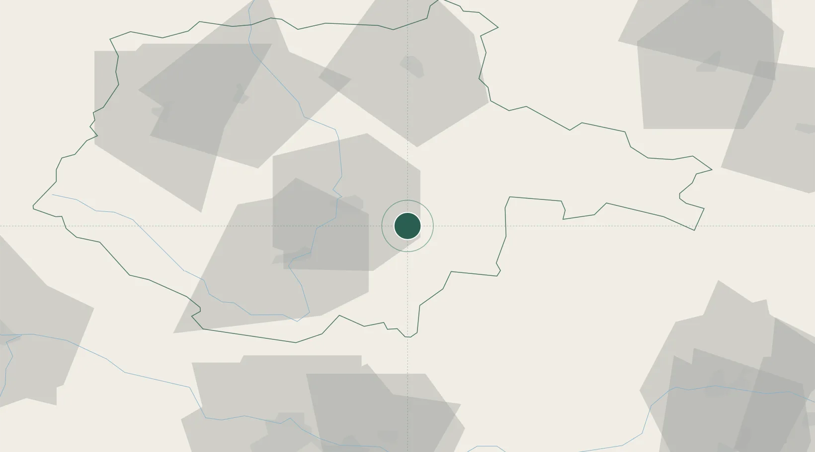
Place type
Populated place
Region
Jihočeský kraj
Population
3,739
Time zone
Europe/Prague
Elevation
519 m
Location
Nearby Logistics Neighbours
Cities
- 1Lisov12 km
- 2Trebon14 km
- 3Ceské Budejovice16 km
- 4Hluboká nad Vltavou23 km
- 5Neplachov24 km
Ports
- 1Monfalcone358 km
- 2Nogaro369 km
- 3Trieste370 km
- 4Grado373 km
- 5Muggia375 km
Airports
- 1České Budějovice South Bohemian Airport18 km
- 2Linz-Hörsching Airport84 km
- 3Náměšť Air Base110 km
- 4Čáslav Air Base125 km
- 5Plzeň-Líně Airport132 km
Trade Zones
DatabookThe Record of Consolidated Knowledge
Czechia beyond logistics?